File:Distant view of the Chuo Shinkansen Yamanashi test track west end.Sept.2013.JPG
Jump to navigation
Jump to search

Size of this preview: 800 × 600 pixels. Other resolutions: 320 × 240 pixels | 640 × 480 pixels | 1,024 × 768 pixels | 1,280 × 960 pixels | 2,560 × 1,920 pixels | 4,000 × 3,000 pixels.
Original file (4,000 × 3,000 pixels, file size: 5.03 MB, MIME type: image/jpeg)
Summary
| Description |
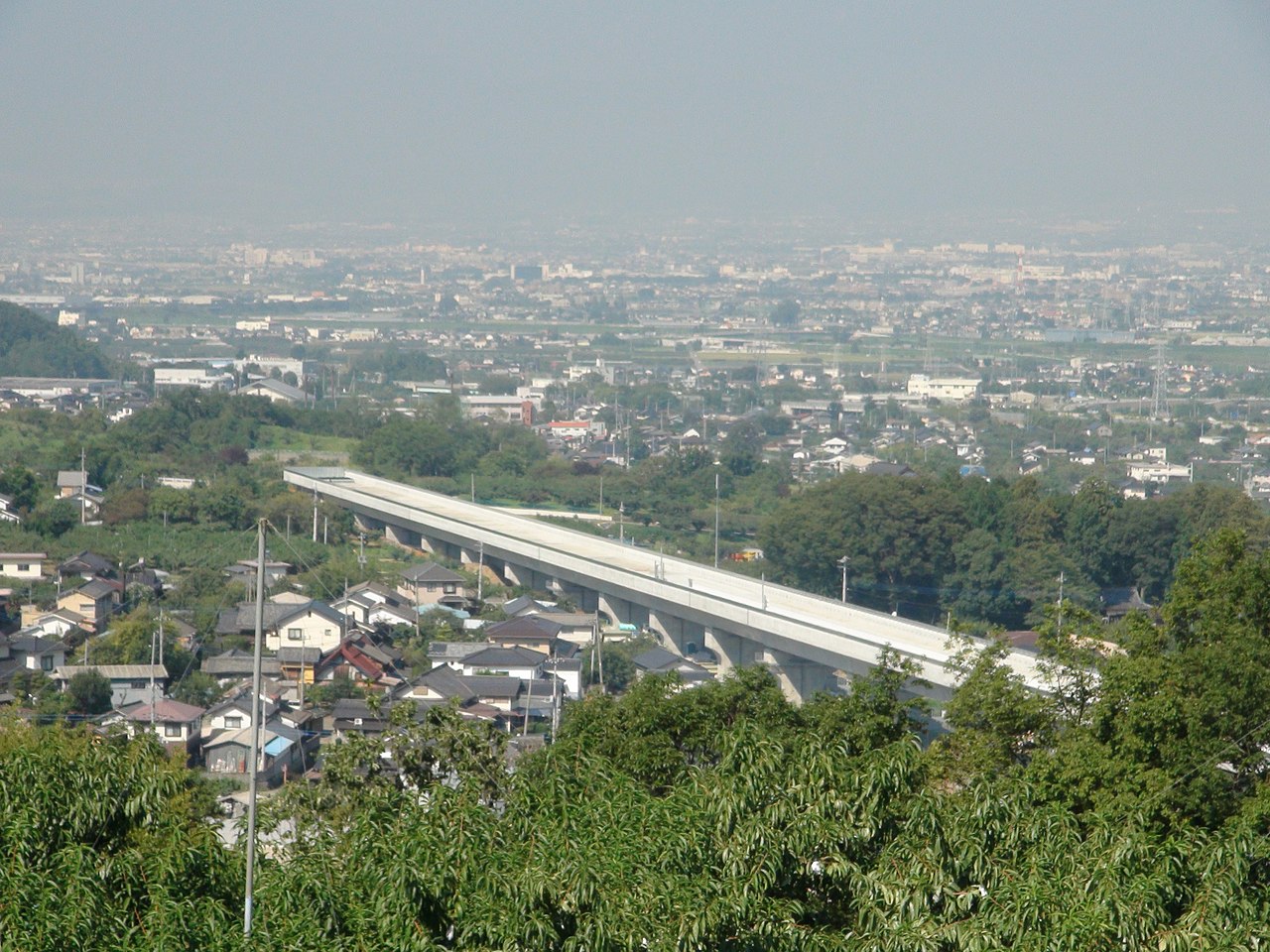
English: Distant view of the Chuo Shinkansen Yamanashi test track west end.Sept.2013
日本語: 中央新幹線山梨実験線西端部の遠望(2013年9月時点)。山梨県笛吹市。 |
| Date | |
| Source | Own work |
| Author | Sakaori (talk) |
| Camera location | | View this and other nearby images on: OpenStreetMap |
|---|
Licensing

|
The copyright holder of this file, the Ministry of Land, Infrastructure, Transport and Tourism of Japan, allows anyone to use it for any purpose, provided that the copyright holder is properly attributed. Redistribution, derivative work, commercial use, and all other use is permitted. |
Attribution:
Copyright © National Land Image Information (Color Aerial Photographs), Ministry of Land, Infrastructure, Transport and Tourism
|
File history
Click on a date/time to view the file as it appeared at that time.
| Date/Time | Thumbnail | Dimensions | User | Comment | |
|---|---|---|---|---|---|
| current | 02:33, 20 September 2013 | | 4,000 × 3,000 (5.03 MB) | wikimediacommons>さかおり | {{Information |Description ={{en|1=Distant view of the Chuo Shinkansen Yamanashi test track west end.Sept.2013}} {{ja|1=中央新幹線山梨実験線西端部の遠望(2013年9月時点)。山梨県笛吹市。}} |Source =Myself |Author... |
File usage
The following page uses this file: