File:Enugu satellite map.jpg
Jump to navigation
Jump to search
Size of this preview: 800 × 598 pixels. Other resolutions: 320 × 239 pixels | 640 × 478 pixels | 1,024 × 765 pixels | 1,280 × 956 pixels.
Original file (1,280 × 956 pixels, file size: 209 KB, MIME type: image/jpeg)
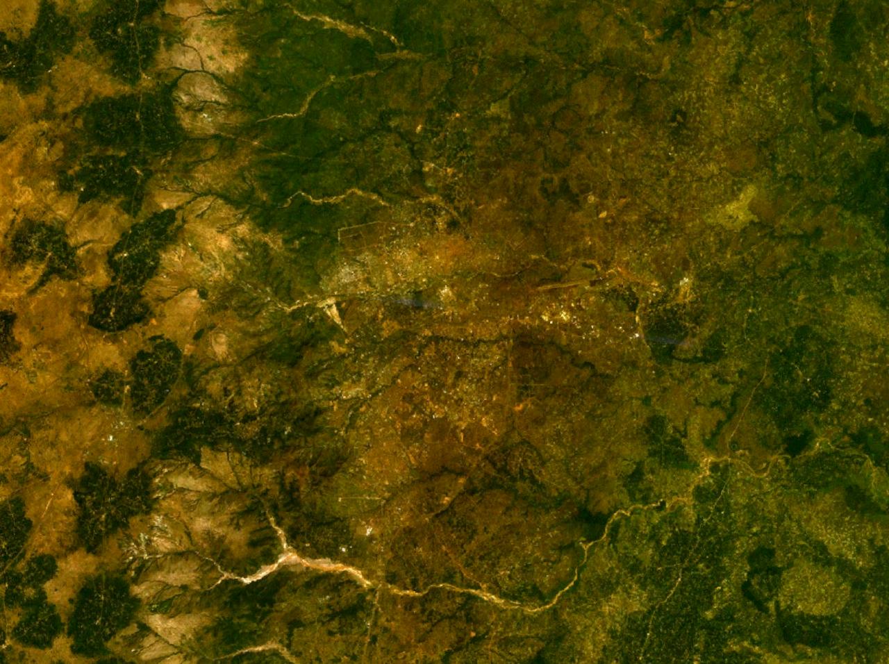
| Description | Satellite map of Enugu, Nigeria | |||
| Date | ||||
| Source | NASA World Wind | |||
| Author | NASA | |||
| Permission (Reusing this file) |
|

File history
Click on a date/time to view the file as it appeared at that time.
| Date/Time | Thumbnail | Dimensions | User | Comment | |
|---|---|---|---|---|---|
| current | 19:08, 8 April 2007 | | 1,280 × 956 (209 KB) | wikimediacommons>Bohr~commonswiki | {{Information |Description=Satellite map of Enugu, Nigeria |Source=NASA World Wind |Date=April 8, 2007 |Author=NASA |Permission={{PD-WorldWind}} |other_versions= }} Category:Maps of Nigeria |
File usage
The following page uses this file: