File:FL 67 Carabelle (N).png
Jump to navigation
Jump to search
Size of this preview: 800 × 489 pixels. Other resolutions: 320 × 196 pixels | 640 × 391 pixels | 1,240 × 758 pixels.
Original file (1,240 × 758 pixels, file size: 1.51 MB, MIME type: image/png)
.png)
Summary
| Description |
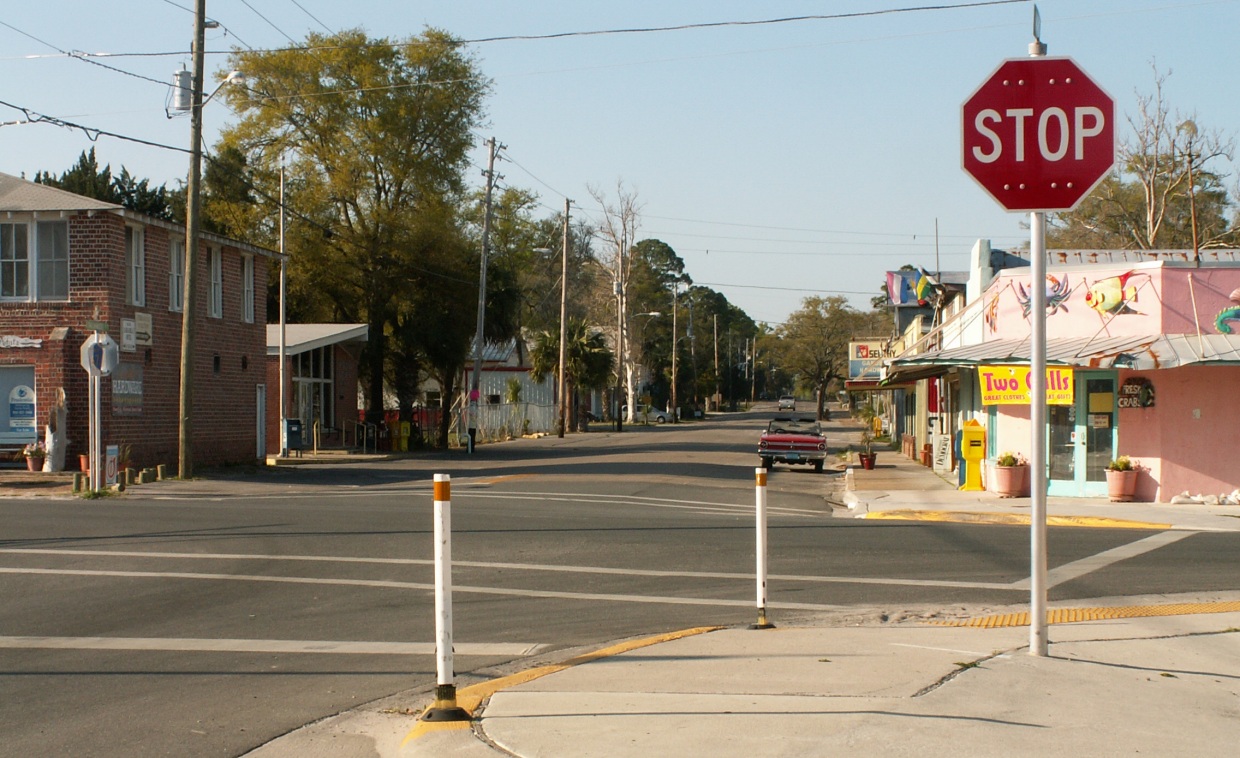
English: Looking north on Franklin County Road 67 (Tallahassee Street, former SR 67) in Carabelle, Florida, USA from the US-98/US-319 intersection, the western terminus of the eastern portion of County Road 30A. |
| Date | Taken on 4 April 2010 |
| Source | Own work |
| Author | The Bushranger |
| Camera location | | View this and other nearby images on: OpenStreetMap |
|---|
.png¶ms=029.850847_N_-084.664708_E_globe:Earth_type:camera_region:US_heading:0.00&language=en)
Licensing
I, the copyright holder of this work, hereby publish it under the following licenses:
This file is licensed under the Creative Commons Attribution-Share Alike 3.0 Unported license.
- You are free:
- to share – to copy, distribute and transmit the work
- to remix – to adapt the work
- Under the following conditions:
- attribution – You must give appropriate credit, provide a link to the license, and indicate if changes were made. You may do so in any reasonable manner, but not in any way that suggests the licensor endorses you or your use.
- share alike – If you remix, transform, or build upon the material, you must distribute your contributions under the same or compatible license as the original.

|
Permission is granted to copy, distribute and/or modify this document under the terms of the GNU Free Documentation License, Version 1.2 or any later version published by the Free Software Foundation; with no Invariant Sections, no Front-Cover Texts, and no Back-Cover Texts. A copy of the license is included in the section entitled GNU Free Documentation License. |
You may select the license of your choice.
File history
Click on a date/time to view the file as it appeared at that time.
| Date/Time | Thumbnail | Dimensions | User | Comment | |
|---|---|---|---|---|---|
| current | 00:25, 5 April 2010 | | 1,240 × 758 (1.51 MB) | wikimediacommons>The Bushranger | {{Information |Description={{en|1=Looking north on Franklin County Road 67 (Tallahassee Street) in Carabelle, Florida, USA from the US-98 intersection.}} |Source={{own}} |Author=The Bushranger |Date=2010-04-04 |Permission= |other_v |
File usage
The following page uses this file:
.png)