File:Final route of the SS Princess Alice.svg
Jump to navigation
Jump to search

Size of this PNG preview of this SVG file: 800 × 360 pixels. Other resolutions: 320 × 144 pixels | 640 × 288 pixels | 1,024 × 461 pixels | 1,280 × 576 pixels | 2,560 × 1,152 pixels | 2,189 × 985 pixels.
Original file (SVG file, nominally 2,189 × 985 pixels, file size: 514 KB)
Summary
| Description |
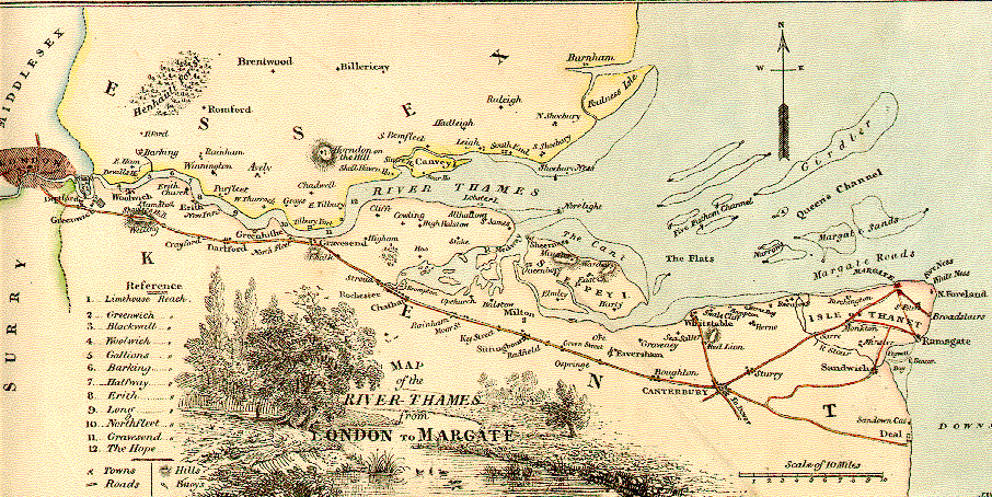
English: The route of the SS Princess Alice, showing the position she sank |
|||
| Date | ||||
| Source |
Own work
Derived from; Information from: |
|||
| Author | Goran tek-en, following request by SchroCat | |||
| Permission (Reusing this file) |
   This file is licensed under the Creative Commons Attribution-Share Alike 4.0 International license. Attribution: Goran tek-en
|
|||
| Other versions |
|
|||
| SVG development |



File history
Click on a date/time to view the file as it appeared at that time.
| Date/Time | Thumbnail | Dimensions | User | Comment | |
|---|---|---|---|---|---|
| current | 17:50, 3 March 2019 | | 2,189 × 985 (514 KB) | wikimediacommons>Goran tek-en | {{Information |description ={{en|1=The route of the ''SS Princess Alice'', showing the position she sank}} |date =20190303 |source ={{Own}}<br> {{Derived from|Route of the Princess Alice.jpg|1855 Colton Map of London, England - Geographicus - London-cbl-1855.jpg|England location map.svg}} Derived from; * [https://www.openstreetmap.org/#map=11/51.4703/0.4316 OSM] Information from: * [https://support.bl.uk/DynamicImages/43ac8c6b-6d73-498b-b70b-a45e01440034/Thomas-Milnes-... |
File usage
The following page uses this file:
