File:Historic Triangle Virginia PNG.png
Jump to navigation
Jump to search
Size of this preview: 800 × 530 pixels. Other resolutions: 320 × 212 pixels | 640 × 424 pixels | 1,024 × 678 pixels | 1,431 × 948 pixels.
Original file (1,431 × 948 pixels, file size: 233 KB, MIME type: image/png)

|
This road map image could be re-created using vector graphics as an SVG file. This has several advantages; see Commons:Media for cleanup for more information. If an SVG form of this image is available, please upload it and afterwards replace this template with
{{vector version available|new image name}}.It is recommended to name the SVG file “Historic Triangle Virginia PNG.svg”—then the template Vector version available (or Vva) does not need the new image name parameter. |
| Description |
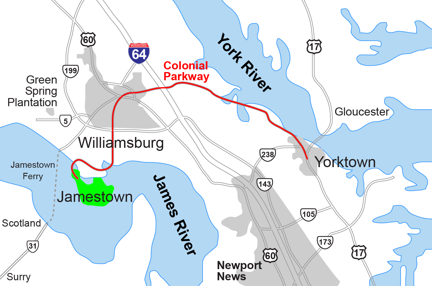
English: Replacement map for JPEG version. Drawn by Hal Jespersen in Macromedia Freehand. Graphic source file is available at http://www.posix.com/CWmaps/ |
||
| Date | 31 March 2006 (original upload date) | ||
| Source | Own work | ||
| Author | Hlj at English Wikipedia | ||
| Permission (Reusing this file) |
|
||
| Other versions | File:Historic_Triangle_Virginia.jpg |
Original upload log
The original description page was here. All following user names refer to en.wikipedia.
- 2011-03-27 17:17 Hlj 1431×948× (239009 bytes) Minor update to improve graphics style of water and roads. Still public domain.
- 2010-04-23 05:28 Arx Fortis 1382×936× (243259 bytes) Improved marking of Scotland-Jamestown Ferry route. Added detail.
- 2006-03-31 00:43 Hlj 1382×936× (220985 bytes) Replacement map for JPEG version. Drawn by Hal Jespersen in Macromedia Freehand. Graphic source file is available at http://www.posix.com/CWmaps/ {{PD-release}}
File history
Click on a date/time to view the file as it appeared at that time.
| Date/Time | Thumbnail | Dimensions | User | Comment | |
|---|---|---|---|---|---|
| current | 15:18, 14 June 2014 | | 1,431 × 948 (233 KB) | wikimediacommons>OgreBot | (BOT): Reverting to most recent version before archival |
File usage
The following page uses this file: