File:Honduras rel 1985.jpg
Jump to navigation
Jump to search

Size of this preview: 743 × 600 pixels. Other resolutions: 297 × 240 pixels | 595 × 480 pixels | 952 × 768 pixels | 1,188 × 959 pixels.


Original file (1,188 × 959 pixels, file size: 240 KB, MIME type: image/jpeg)

Summary
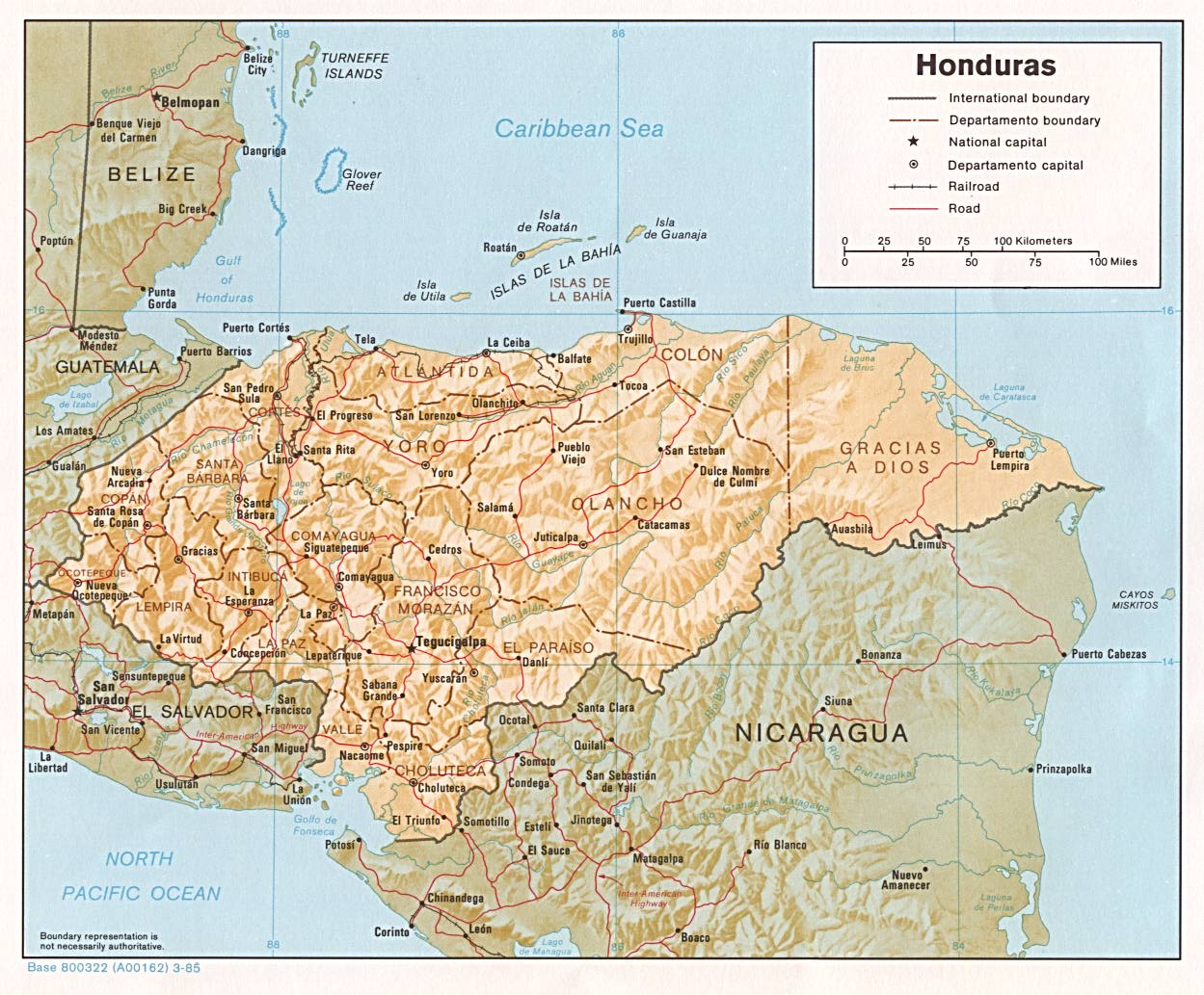
| Description | Shaded relief map of Honduras, in year 1985, showing more than 45 Honduras towns, plus 40 bordering towns, in original JPEG format, 1249 x 1033 pixel, 246kb (labeled for large resizing > 600px width). |
| Date | Uploaded 28-October-2005 |
| Source | Image source URL: http://www.lib.utexas.edu/maps/americas/honduras.jpg; there was no copyright restriction on the containing webpage of the UT Library: UT Perry-Castañeda Library Map Collection - Honduras Maps. |
| Author | US CIA (archived by UT Library) |
| Other versions | (none yet) |
Licensing

|
This image is a work of a Central Intelligence Agency employee, taken or made as part of that person's official duties. As a Work of the United States Government, this image or media is in the public domain in the United States.
|

|
-
File history
Click on a date/time to view the file as it appeared at that time.
| Date/Time | Thumbnail | Dimensions | User | Comment | |
|---|---|---|---|---|---|
| current | 07:08, 3 October 2017 | | 1,188 × 959 (240 KB) | wikimediacommons>ديفيد عادل وهبة خليل 2 | Removed border by cropping 5 % horizontally and 7 % vertically using CropTool with precise mode. |
File usage
The following page uses this file:
