File:Inter-German Locator.svg
Jump to navigation
Jump to search

Size of this PNG preview of this SVG file: 450 × 456 pixels. Other resolutions: 237 × 240 pixels | 474 × 480 pixels | 758 × 768 pixels | 1,011 × 1,024 pixels | 2,021 × 2,048 pixels.
Original file (SVG file, nominally 450 × 456 pixels, file size: 475 KB)
Summary
| Description |
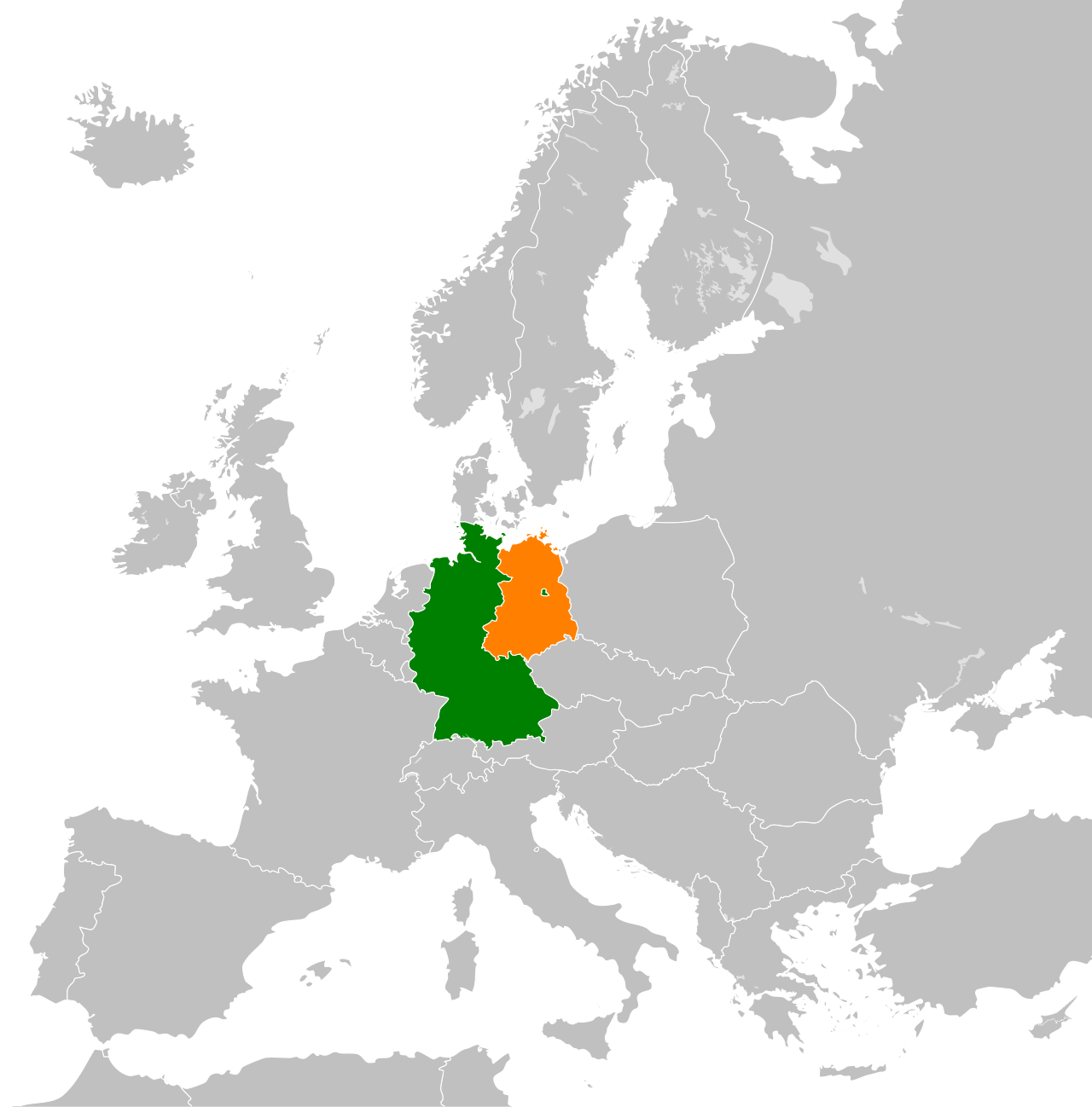
English: Map of East and West Germany during the German division (1949–90). |
| Date | |
| Source |
This vector image includes elements that have been taken or adapted from this file: |
| Author | NINTENPUG |
Licensing
I, the copyright holder of this work, hereby publish it under the following license:
This file is licensed under the Creative Commons Attribution-Share Alike 3.0 Unported license.
- You are free:
- to share – to copy, distribute and transmit the work
- to remix – to adapt the work
- Under the following conditions:
- attribution – You must give appropriate credit, provide a link to the license, and indicate if changes were made. You may do so in any reasonable manner, but not in any way that suggests the licensor endorses you or your use.
- share alike – If you remix, transform, or build upon the material, you must distribute your contributions under the same or compatible license as the original.
File history
Click on a date/time to view the file as it appeared at that time.
| Date/Time | Thumbnail | Dimensions | User | Comment | |
|---|---|---|---|---|---|
| current | 02:06, 2 December 2022 | | 450 × 456 (475 KB) | wikimediacommons>Angelgreat | Switched colors to stand out better |
File usage
The following page uses this file: