File:Location Caribbean.png
Jump to navigation
Jump to search
No higher resolution available.
Location_Caribbean.png (640 × 326 pixels, file size: 17 KB, MIME type: image/png)
Summary
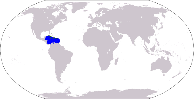
| Description |
World map depicting en:Caribbean, including:
|
| Date | 16 September 2006 (original upload date) |
| Source | No machine-readable source provided. Own work assumed (based on copyright claims). |
| Author | No machine-readable author provided. Cogito ergo sumo~commonswiki assumed (based on copyright claims). |
Licensing
| I, the copyright holder of this work, release this work into the public domain. This applies worldwide. In some countries this may not be legally possible; if so: I grant anyone the right to use this work for any purpose, without any conditions, unless such conditions are required by law. |
File history
Click on a date/time to view the file as it appeared at that time.
| Date/Time | Thumbnail | Dimensions | User | Comment | |
|---|---|---|---|---|---|
| current | 02:24, 20 September 2006 | | 640 × 326 (17 KB) | wikimediacommons>Cogito ergo sumo~commonswiki | World map: Caribbean (location) |
File usage
The following page uses this file: