File:Location map Kensington.png
Jump to navigation
Jump to search
Original file (829 × 905 pixels, file size: 831 KB, MIME type: image/png)
| Description |
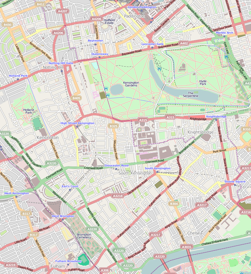
English: Map of Kensington, London
Geographic limits of the map:
|
| Date | |
| Source | OpenStreetMap |
| Author | OpenStreetMap, cropped by Dr. Blofeld |
| Permission (Reusing this file) |
This file is licensed under the Creative Commons Attribution-Share Alike 2.0 Generic license.
|
File history
Click on a date/time to view the file as it appeared at that time.
| Date/Time | Thumbnail | Dimensions | User | Comment | |
|---|---|---|---|---|---|
| current | 21:58, 7 October 2010 | No thumbnail | 829 × 905 (831 KB) | wikimediacommons>Blofeld Dr. | {{Information |Description={{en|1=f}} |Source=f |Author=f |Date=f |Permission= |other_versions= }} |
File usage
The following 3 pages use this file: