File:MCAS El Toro aerial view 1993.JPEG
Jump to navigation
Jump to search
Size of this preview: 800 × 527 pixels. Other resolutions: 320 × 211 pixels | 640 × 421 pixels | 1,024 × 674 pixels | 1,280 × 843 pixels | 2,810 × 1,850 pixels.
Original file (2,810 × 1,850 pixels, file size: 3.92 MB, MIME type: image/jpeg)
Summary
| Description |
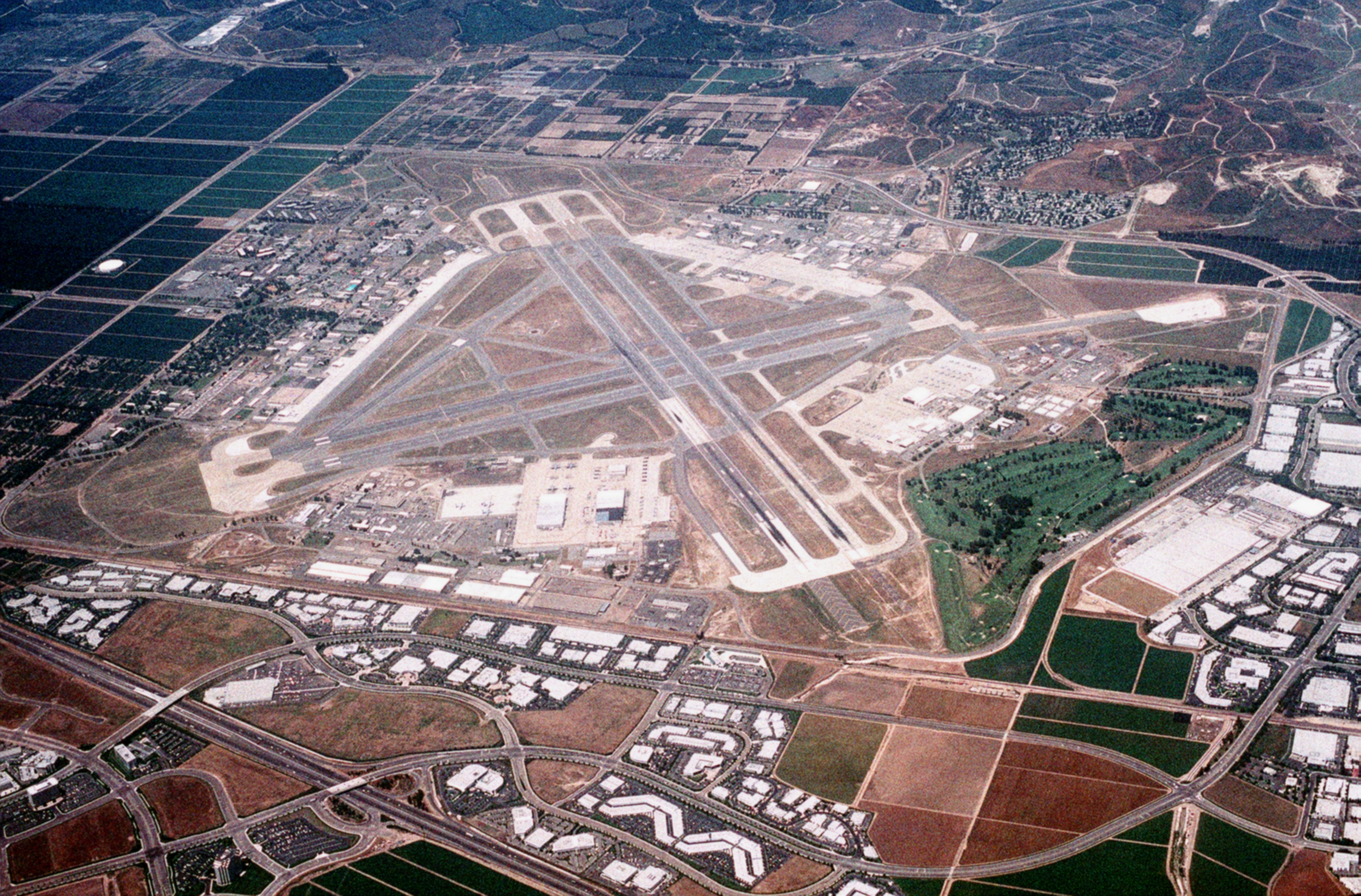
English: An aerial view of the U.S. Marine Corps Air Station El Toro, California (USA), looking east, in 1993. |
| Date | Taken on 17 June 1993 |
| Source | U.S. DefenseImagery photo VIRIN: DN-ST-94-00718 |
| Author | PH2 Bruce Trombecky, USN; Original uploader was Looper5920 at en.wikipedia, 10 February 2007 (original upload date) |
| Camera location | | View this and other nearby images on: OpenStreetMap |
|---|
Licensing
This file is a work of a sailor or employee of the U.S. Navy, taken or made as part of that person's official duties. As a work of the U.S. federal government, it is in the public domain in the United States.
|
 | |
| This file has been identified as being free of known restrictions under copyright law, including all related and neighboring rights. | ||
File history
Click on a date/time to view the file as it appeared at that time.
| Date/Time | Thumbnail | Dimensions | User | Comment | |
|---|---|---|---|---|---|
| current | 09:07, 30 January 2011 | | 2,810 × 1,850 (3.92 MB) | wikimediacommons>Cobatfor | == {{int:filedesc}} == {{Information |Description={{en|An aerial view of the U.S. Marine Corps Air Station El Toro, California (USA), looking east, in 1993.}} |Source=[http://www.defenseimagery.mil U.S. DefenseImagery] photo VIRIN: [http://www.dodmedia.os |
File usage
The following 2 pages use this file: