File:Map of Adams County Illinois.png
Jump to navigation
Jump to search
No higher resolution available.
Map_of_Adams_County_Illinois.png (300 × 285 pixels, file size: 14 KB, MIME type: image/png)
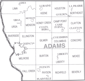
| Description | Adams County Illinois | |||
| Date | ||||
| Source | https://www.census.gov\/prod/cen2000/phc-1-15.pdf | |||
| Author | US Census Bureau, Cropped by uploader | |||
| Permission (Reusing this file) |
|

File history
Click on a date/time to view the file as it appeared at that time.
| Date/Time | Thumbnail | Dimensions | User | Comment | |
|---|---|---|---|---|---|
| current | 16:08, 27 January 2007 | | 300 × 285 (14 KB) | wikimediacommons>Dual Freq | {{Information |Description=Adams County Illinois |Source=http://www.census.gov/prod/cen2000/phc-1-15.pdf |Date=2000 |Author=US Census Bureau, Cropped by uploader |Permission={{PD-USGov-DOC-Census}} |other_versions= }} [[Category:Maps of Adams County Illi |
File usage
The following page uses this file: