File:Map of Eastern Siberia.png
Jump to navigation
Jump to search

Size of this preview: 800 × 510 pixels. Other resolutions: 320 × 204 pixels | 640 × 408 pixels | 1,024 × 653 pixels | 1,541 × 982 pixels.
Original file (1,541 × 982 pixels, file size: 2.74 MB, MIME type: image/png)
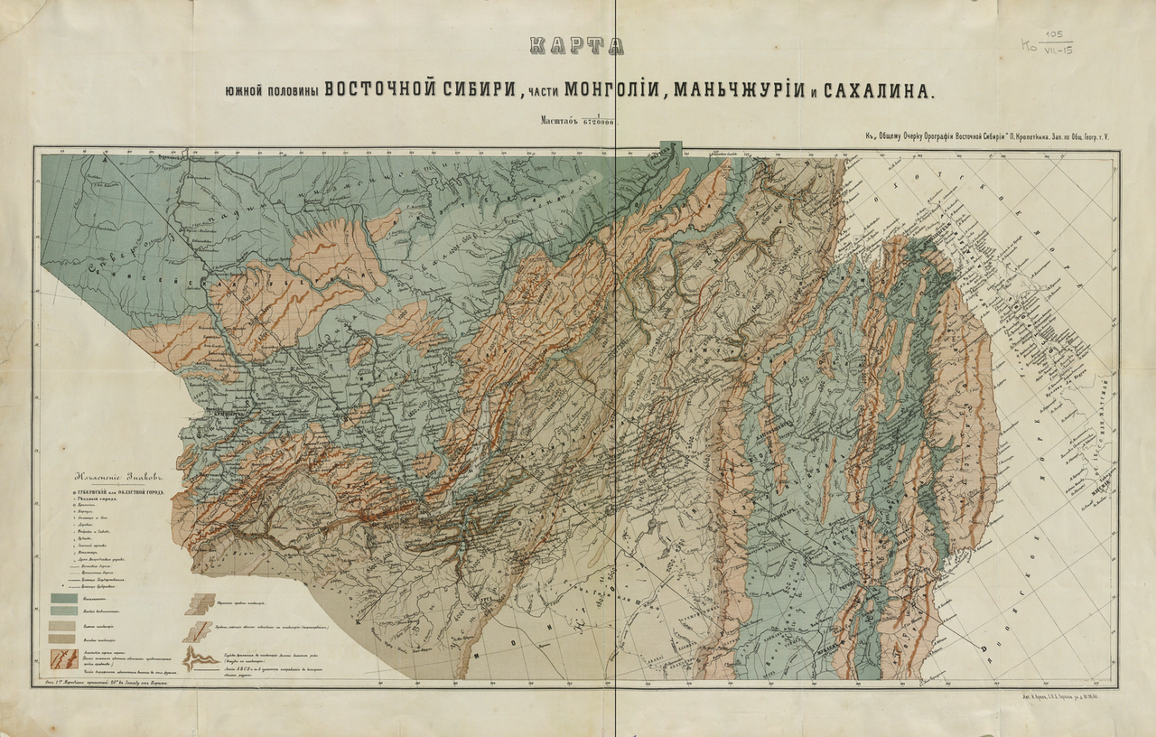
Summary
| Description |
English: Map of the Southern Half of Eastern Siberia and Parts of Mongolia, Manchuria, and Sakhalin: For a General Sketch of the Orography of Eastern Siberia.
Русский: Кропоткин П. А. Карта южной половины Восточной Сибири, части Монголии: к Общему Очерку Орографии Восточной Сибири. Зап. по Общ. Геогр. т. 5. СПб.: [1875], Лит. Н. Брезв. 1 л.: цв. 48х76 см. |
| Date | |
| Source | http://www.wdl.org/en/item/125/ |
| Author | Peter Kropotkin |
Licensing
|
This work is in the public domain in its country of origin and other countries and areas where the copyright term is the author's life plus 70 years or fewer. | |
| This file has been identified as being free of known restrictions under copyright law, including all related and neighboring rights. | |
File history
Click on a date/time to view the file as it appeared at that time.
| Date/Time | Thumbnail | Dimensions | User | Comment | |
|---|---|---|---|---|---|
| current | 15:49, 20 November 2011 | | 1,541 × 982 (2.74 MB) | wikimediacommons>Koroesu | {{Information |Description ={{en|1=Map of the Southern Half of Eastern Siberia and Parts of Mongolia, Manchuria, and Sakhalin: For a General Sketch of the Orography of Eastern Siberia.}} |Source =http://www.wdl.org/en/item/125/ |Author |
File usage
The following page uses this file: