File:Map of Leusden.png
Jump to navigation
Jump to search
No higher resolution available.
Map_of_Leusden.png (540 × 390 pixels, file size: 7 KB, MIME type: image/png)
Summary
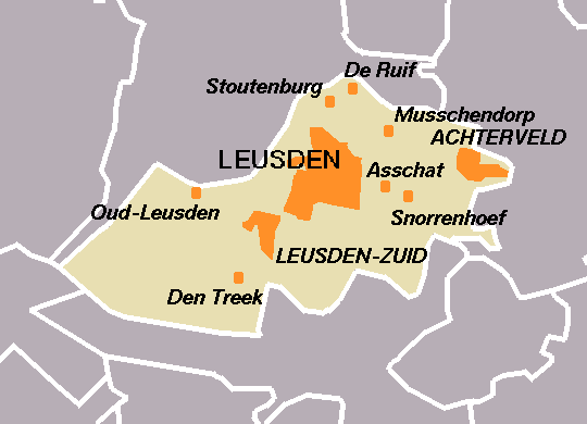
| Description |
English: Map of Leusden, the Netherlands, created by User:Eugene van der Pijll |
| Date | between 2001 and 2006 |
| Source | Centraal Bureau voor de Statistiek |
| Author | Centraal Bureau voor de Statistiek |
Licensing

|
The copyright holder of this file, Centraal Bureau voor de Statistiek, allows anyone to use it for any purpose, provided that the copyright holder is properly attributed. Redistribution, derivative work, commercial use, and all other use is permitted. |
Attribution:
|
File history
Click on a date/time to view the file as it appeared at that time.
| Date/Time | Thumbnail | Dimensions | User | Comment | |
|---|---|---|---|---|---|
| current | 23:46, 5 January 2006 | | 540 × 390 (7 KB) | wikimediacommons>Eugene van der Pijll | Map of Leusden, the Netherlands, created by User:Eugene van der Pijll. Based on boundary data: (c) 2003, Centraal Bureau voor de Statistiek/Topografische Dienst Kadaster. Category:Maps of Utrecht |
File usage
The following page uses this file: