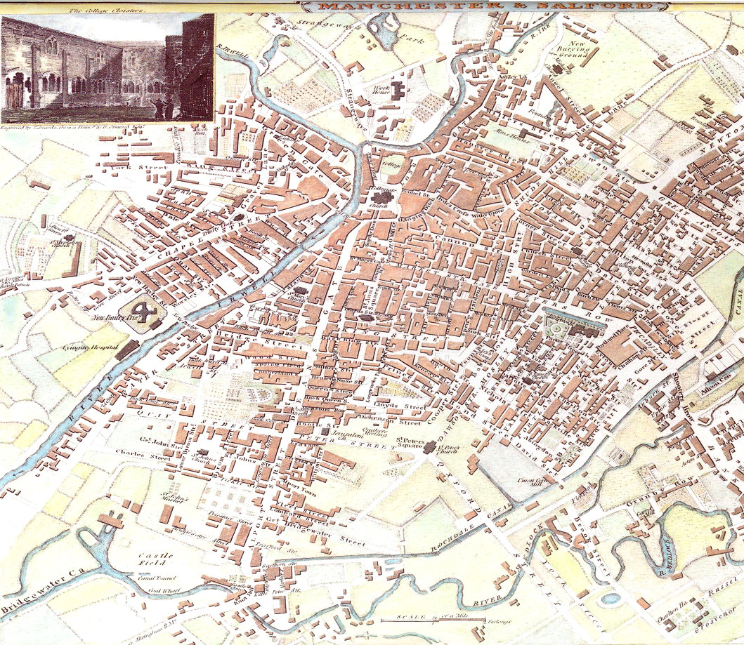
File:Map of Manchester 1801.PNG
Jump to navigation
Jump to search
Size of this preview: 691 × 600 pixels. Other resolutions: 277 × 240 pixels | 553 × 480 pixels | 885 × 768 pixels | 1,059 × 919 pixels.
Original file (1,059 × 919 pixels, file size: 2.06 MB, MIME type: image/png)
Summary
| Description |
English: Map of en:Manchester from 1801. |
| Date | circa 1807 |
| Source | Maps Collection |
| Author | Roper, J. |
Licensing
This work is anonymous or pseudonymous due to unknown authorship. It is in the public domain in countries and areas where the copyright terms of anonymous or pseudonymous works are 125 years or fewer since publication.
|
Original upload log
The original description page was here. All following user names refer to en.wikipedia.
- 2007-07-28 01:11 And-Rew 1059×919×8 (2271862 bytes) Map of [[Manchester]] from 1801.
File history
Click on a date/time to view the file as it appeared at that time.
| Date/Time | Thumbnail | Dimensions | User | Comment | |
|---|---|---|---|---|---|
| current | 19:36, 20 March 2009 | | 1,059 × 919 (2.06 MB) | wikimediacommons>Mahahahaneapneap | Compressed |
File usage
The following 2 pages use this file: