File:Mason County Magisterial Districts.png
Jump to navigation
Jump to search
Size of this preview: 395 × 600 pixels. Other resolutions: 158 × 240 pixels | 316 × 480 pixels | 506 × 768 pixels | 674 × 1,024 pixels | 1,349 × 2,048 pixels | 2,700 × 4,100 pixels.
Original file (2,700 × 4,100 pixels, file size: 532 KB, MIME type: image/png)
Summary
| Description |
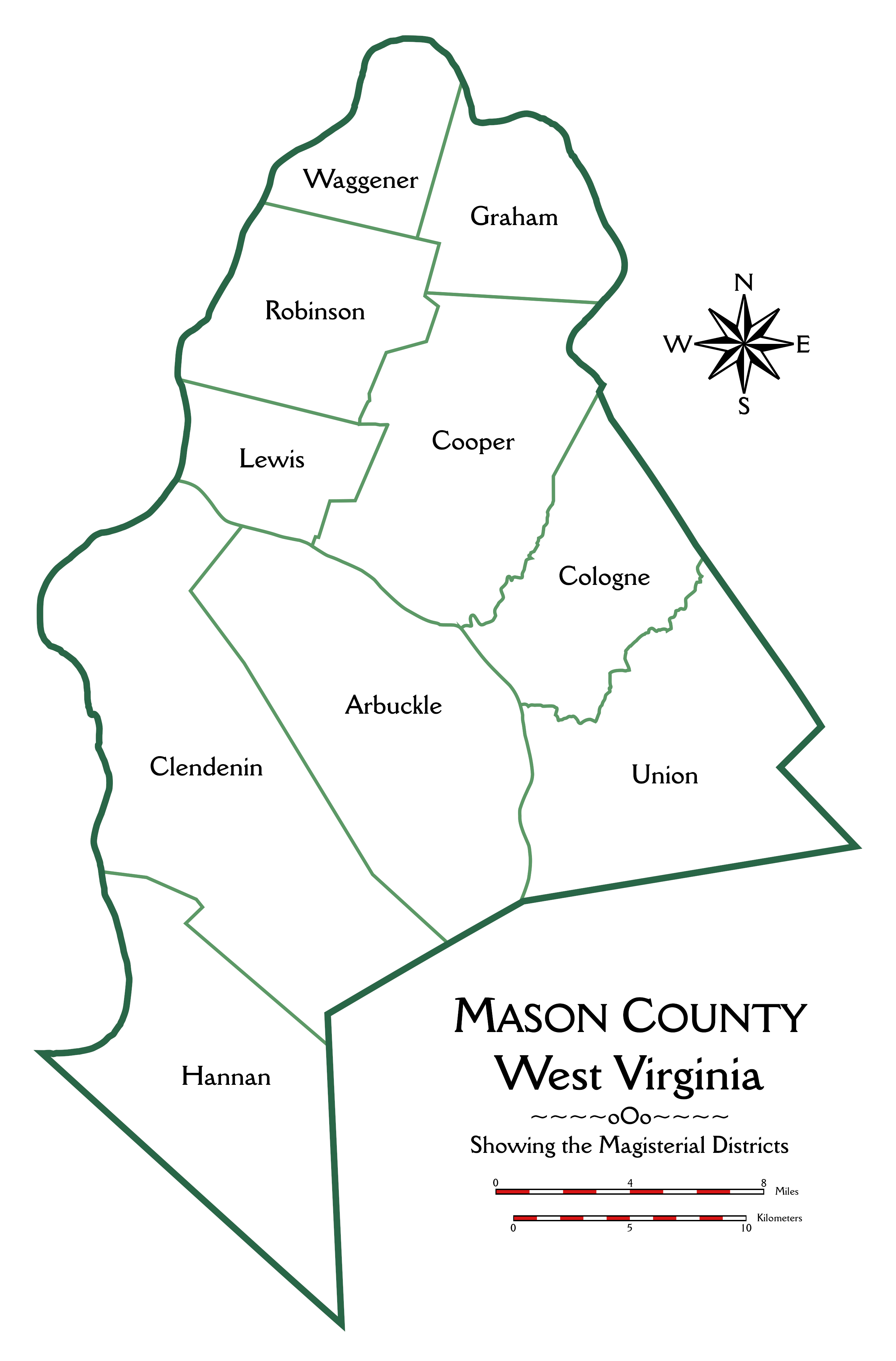
English: This is an outline map of Mason County, West Virginia, showing the boundaries of the magisterial districts, which are labeled. |
| Date | |
| Source | Own work |
| Author | P Aculeius |
Licensing
I, the copyright holder of this work, hereby publish it under the following license:
This file is licensed under the Creative Commons Attribution-Share Alike 4.0 International license.
- You are free:
- to share – to copy, distribute and transmit the work
- to remix – to adapt the work
- Under the following conditions:
- attribution – You must give appropriate credit, provide a link to the license, and indicate if changes were made. You may do so in any reasonable manner, but not in any way that suggests the licensor endorses you or your use.
- share alike – If you remix, transform, or build upon the material, you must distribute your contributions under the same or compatible license as the original.
File history
Click on a date/time to view the file as it appeared at that time.
| Date/Time | Thumbnail | Dimensions | User | Comment | |
|---|---|---|---|---|---|
| current | 17:02, 10 October 2019 | | 2,700 × 4,100 (532 KB) | wikimediacommons>P Aculeius | User created page with UploadWizard |
File usage
The following page uses this file: