File:Middleton Map.jpg
Jump to navigation
Jump to search
Size of this preview: 700 × 599 pixels. Other resolutions: 280 × 240 pixels | 561 × 480 pixels | 765 × 655 pixels.
Original file (765 × 655 pixels, file size: 147 KB, MIME type: image/jpeg)
Summary
| Description |
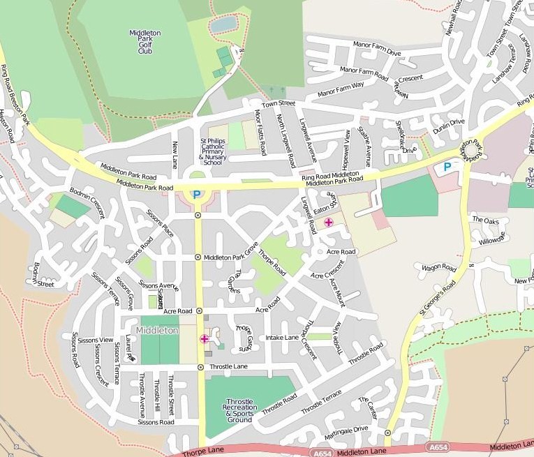
English: A map of Middleton, Leeds, West Yorkshire. Small parts of Southern Belle Isle are shown to the Right (East) of the image. Copied 29/09/2009. |
| Date | copied 2009-09-29 |
| Source | http://www.openstreetmap.org |
| Author | openstreetmap.org |
Licensing
This file is licensed under the Creative Commons Attribution-Share Alike 2.5 Generic license.
- You are free:
- to share – to copy, distribute and transmit the work
- to remix – to adapt the work
- Under the following conditions:
- attribution – You must give appropriate credit, provide a link to the license, and indicate if changes were made. You may do so in any reasonable manner, but not in any way that suggests the licensor endorses you or your use.
- share alike – If you remix, transform, or build upon the material, you must distribute your contributions under the same or compatible license as the original.
File history
Click on a date/time to view the file as it appeared at that time.
| Date/Time | Thumbnail | Dimensions | User | Comment | |
|---|---|---|---|---|---|
| current | 17:18, 29 September 2009 | | 765 × 655 (147 KB) | wikimediacommons>Mtaylor848 | {{Information |Description={{en|1=A map of Middleton, Leeds, West Yorkshire. Small parts of Southern Belle Isle are shown to the Right (East) of the image. Copied 29/09/2009.}} |Source=http://www.openstreetmap.org |Author=openstreetmap.org |Date=copied |
File usage
The following page uses this file: