File:NorthAmericaDivides.gif
Jump to navigation
Jump to search
No higher resolution available.
NorthAmericaDivides.gif (540 × 481 pixels, file size: 56 KB, MIME type: image/gif)

|
This geology image could be re-created using vector graphics as an SVG file. This has several advantages; see Commons:Media for cleanup for more information. If an SVG form of this image is available, please upload it and afterwards replace this template with
{{vector version available|new image name}}.It is recommended to name the SVG file “NorthAmericaDivides.svg”—then the template Vector version available (or Vva) does not need the new image name parameter. |
This map was obtained from an edition of the National Atlas of the United States. Like almost all works of the U.S. federal government, works from the National Atlas are in the public domain in the United States.
Online access: NationalAtlas.gov | 1970 print edition: Library of Congress, Perry-Castañeda Library
|
File history
Click on a date/time to view the file as it appeared at that time.
| Date/Time | Thumbnail | Dimensions | User | Comment | |
|---|---|---|---|---|---|
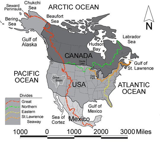
| current | 22:27, 20 February 2005 | | 540 × 481 (56 KB) | wikimediacommons>Don Braffitt | North America Continental Divides |
File usage
No pages on the English Wikipedia use this file (pages on other projects are not listed).