File:Northern macva03 map.png
Jump to navigation
Jump to search

Size of this preview: 769 × 599 pixels. Other resolutions: 308 × 240 pixels | 616 × 480 pixels | 985 × 768 pixels | 1,280 × 998 pixels | 1,324 × 1,032 pixels.
Original file (1,324 × 1,032 pixels, file size: 62 KB, MIME type: image/png)
Summary
| Description |
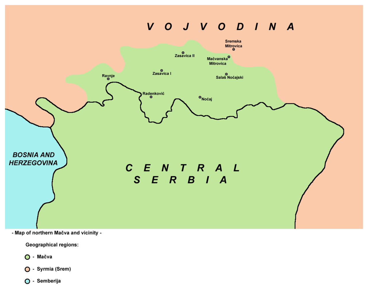
English: Map of northern Mačva region and vicinity.
Српски / srpski: Mapa severne Mačve sa okolinom. |
| Date | 9 February 2009 (original upload date) |
| Source | No machine-readable source provided. Own work assumed (based on copyright claims). |
| Author | No machine-readable author provided. WikiEditor2004 assumed (based on copyright claims). |
Source and licence
self made map by WikiEditor2004
Licensing
| I, the copyright holder of this work, release this work into the public domain. This applies worldwide. In some countries this may not be legally possible; if so: I grant anyone the right to use this work for any purpose, without any conditions, unless such conditions are required by law. |
References
- Slobodan Radovanović, Geografski atlas, Magic Map, Smederevska Palanka, 2001.
- Denis Šehić - Demir Šehić, Školski geografski atlas Srbije, Beograd, 2007.
- Geografski atlas, Intersistem Kartografija, Beograd, 2004.
- Milovan Radovanović, Kosovo i Metohija - antropogeografske, istorijskogeografske, demografske i geopolitičke osnove, Beograd, 2008.
- Popis stanovništva, domaćinstava i stanova u 2002, Stanovništvo, knjiga 1, Nacionalna ili etnička pripadnost - Podaci po naseljima, Republika Srbija, Republički zavod za statistiku, Beograd, februar 2003.
- http://crnabara.com/c%20bara/kartacb.jpg archive copy at the Wayback Machine
- http://www.hidmet.gov.rs/slike_lat/podzemne/7NP.gif archive copy at the Wayback Machine
- http://www.hidmet.gov.rs/slike_lat/podzemne/mp20018.jpg archive copy at the Wayback Machine
- http://www.akvakamp.org.rs/images/Mapa-SREM-DUNAV-SAVA1.jpg archive copy at the Wayback Machine
- http://www.381info.com/paketi/3243/mapa.gif
File history
Click on a date/time to view the file as it appeared at that time.
| Date/Time | Thumbnail | Dimensions | User | Comment | |
|---|---|---|---|---|---|
| current | 19:33, 2 June 2011 | | 1,324 × 1,032 (62 KB) | wikimediacommons>WikiEditor2004 | Reverted to version as of 17:16, 31 May 2011 - trying to fix thumbnail error |
File usage
The following page uses this file: