File:Opened scallop shell.jpg
Jump to navigation
Jump to search
Size of this preview: 692 × 599 pixels. Other resolutions: 277 × 240 pixels | 554 × 480 pixels | 887 × 768 pixels | 1,209 × 1,047 pixels.
Original file (1,209 × 1,047 pixels, file size: 688 KB, MIME type: image/jpeg)
Summary
| This is a retouched picture, which means that it has been digitally altered from its original version. Modifications: Cropped to isolate scallop.
|
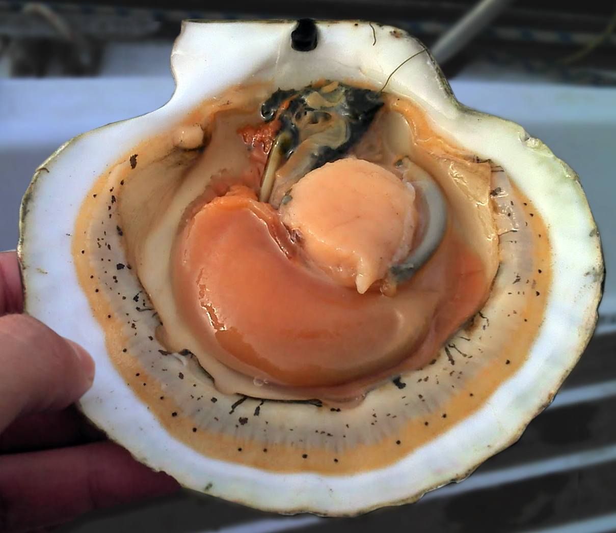
| Description |
Русский: Открытая раковина морского гребешка English: Opened shell of scallop
|
||||
| Date | |||||
| Source | Own work | ||||
| Author | YuryKirienko | ||||
| Other versions |
|
.jpg)
.jpg)
.jpg)
Derivative works of this file:
- Opened scallop shell (3).jpg
- Opened scallop shell (new-flipped-w-darkened-bkgrnd).jpg
- Opened scallop shell-(dark bkgrnd).jpg

|
This image contains geocoded location data in its Exif metadata. However, the recorded coordinates may be ambiguous, incorrect, impossible, or refer to the digitizing equipment rather than the actual photographed location. Examples include coordinates recorded as 0° latitude/longitude, excessively large latitude or longitude values, or scanner locations. Once an accurate {{Location}} template is added to this page, this template may be safely removed. If no location is applicable for this file, please remove this template and add the file to Category:Location not applicable. |
Licensing
I, the copyright holder of this work, hereby publish it under the following license:
| This file is made available under the Creative Commons CC0 1.0 Universal Public Domain Dedication. | |
| The person who associated a work with this deed has dedicated the work to the public domain by waiving all of their rights to the work worldwide under copyright law, including all related and neighboring rights, to the extent allowed by law. You can copy, modify, distribute and perform the work, even for commercial purposes, all without asking permission.
|
File history
Click on a date/time to view the file as it appeared at that time.
| Date/Time | Thumbnail | Dimensions | User | Comment | |
|---|---|---|---|---|---|
| current | 15:49, 1 June 2013 | | 1,209 × 1,047 (688 KB) | wikimediacommons>Centpacrr | Restored original orientation to match that of the diagram above it in the article which has now been inverted by another editor |
File usage
The following page uses this file: