File:PDA Mapping.jpg
Jump to navigation
Jump to search
No higher resolution available.
PDA_Mapping.jpg (302 × 248 pixels, file size: 12 KB, MIME type: image/jpeg)
Summary
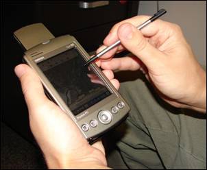
| Description |
English: A handheld computer with GPS and GIS software is often used for scientific field work. |
| Date | |
| Source | Advanced GIS-Based Field Mapping Techniques for Multi-Disciplinary Research: http://geography.wr.usgs.gov/science/mapping.html |
| Author | US Geological Survey: Nathan Wood |
Licensing
This image is in the public domain in the United States because it only contains materials that originally came from the United States Geological Survey, an agency of the United States Department of the Interior. For more information, see the official USGS copyright policy.
|
File history
Click on a date/time to view the file as it appeared at that time.
| Date/Time | Thumbnail | Dimensions | User | Comment | |
|---|---|---|---|---|---|
| current | 20:55, 30 January 2009 | | 302 × 248 (12 KB) | wikimediacommons>Awickert | {{Information |Description={{en|1=A handheld computer with GPS and GIS software is often used for scientific field work.}} |Source=Advanced GIS-Based Field Mapping Techniques for Multi-Disciplinary Research: http://geography.wr.usgs.gov/science/mapping.ht |
File usage
The following page uses this file: