File:Pidhirtsi Castle.jpg
Jump to navigation
Jump to search

Size of this preview: 800 × 454 pixels. Other resolutions: 320 × 182 pixels | 640 × 363 pixels | 1,024 × 581 pixels | 1,280 × 726 pixels | 3,526 × 2,000 pixels.
Original file (3,526 × 2,000 pixels, file size: 4.54 MB, MIME type: image/jpeg)
Summary
| Description |
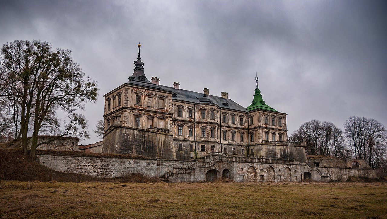
English: Pidhirtsi Castle, Lviv Oblast, Ukraine
|
||
| Date | |||
| Source | Own work | ||
| Author | Kateryna Baiduzha |
| Camera location | | View this and other nearby images on: OpenStreetMap |
|---|
Licensing
I, the copyright holder of this work, hereby publish it under the following license:
This file is licensed under the Creative Commons Attribution-Share Alike 4.0 International license.
- You are free:
- to share – to copy, distribute and transmit the work
- to remix – to adapt the work
- Under the following conditions:
- attribution – You must give appropriate credit, provide a link to the license, and indicate if changes were made. You may do so in any reasonable manner, but not in any way that suggests the licensor endorses you or your use.
- share alike – If you remix, transform, or build upon the material, you must distribute your contributions under the same or compatible license as the original.

|
This image was uploaded as part of Wiki Loves Monuments 2018.
|
 |

|
This image was awarded with the 5th prize in the national contest of Ukraine in Wiki Loves Monuments 2018 Other languages:
|
_DSC_1062.JPG)
_DSC_9661.jpg)
.jpg)
|
|
This image was awarded a finalist of the European Special Award worldwide in Wiki Loves Monuments 2018 Other languages:
|
This image has been assessed using the Quality image guidelines and is considered a Quality image.
|
File history
Click on a date/time to view the file as it appeared at that time.
| Date/Time | Thumbnail | Dimensions | User | Comment | |
|---|---|---|---|---|---|
| current | 11:52, 28 September 2018 | | 3,526 × 2,000 (4.54 MB) | wikimediacommons>SvartKat | User created page with UploadWizard |
File usage
The following page uses this file: