File:Plano-de-la-Ciudad-de-Ceuta-1943.jpg
Jump to navigation
Jump to search

Size of this preview: 800 × 480 pixels. Other resolutions: 320 × 192 pixels | 1,024 × 615 pixels | 1,280 × 768 pixels | 2,560 × 1,537 pixels | 7,948 × 4,771 pixels.
Original file (7,948 × 4,771 pixels, file size: 7.13 MB, MIME type: image/jpeg)
Summary
| Description |
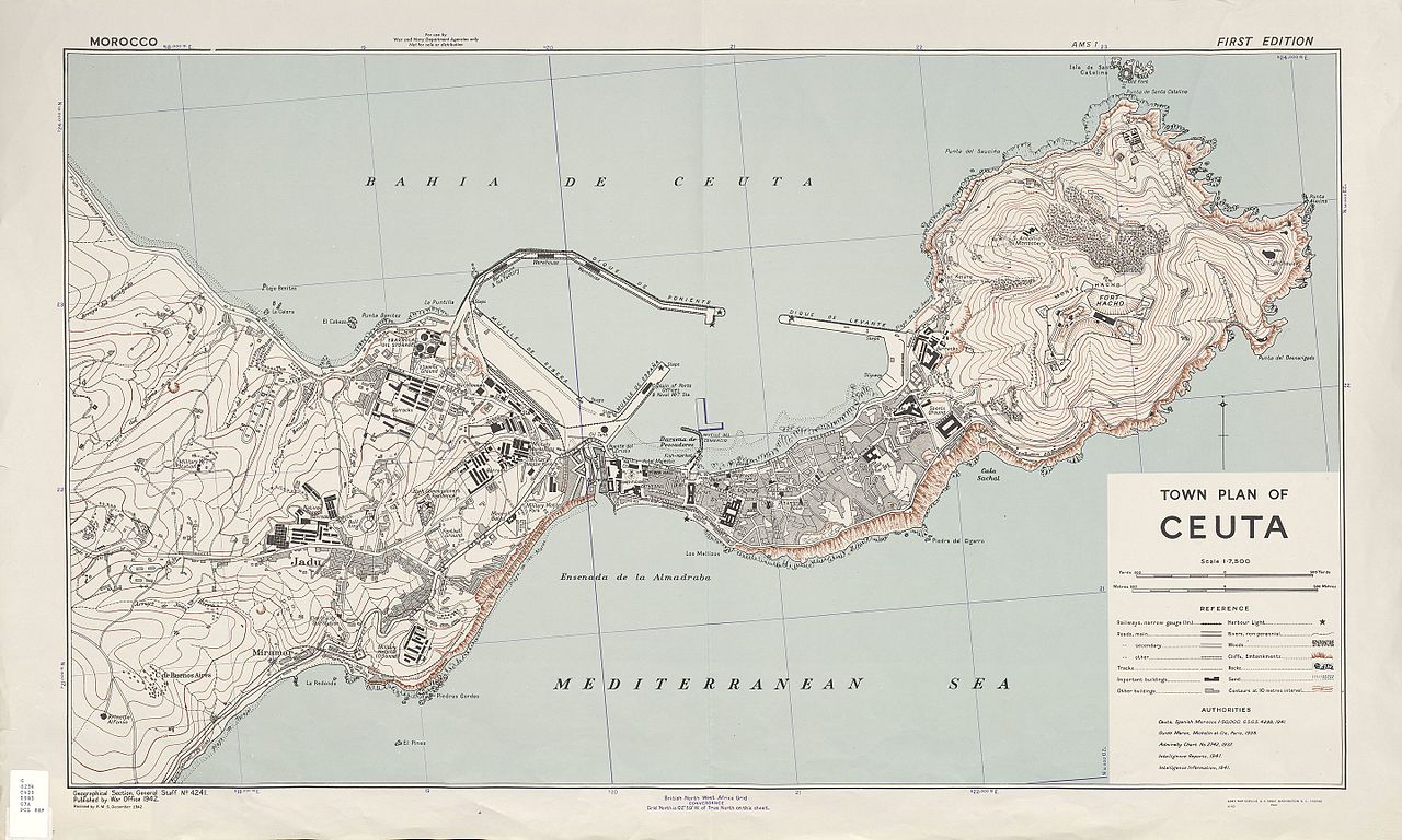
English: Detail map of Ceuta, a Spanish exclave city on the Mediterranean Coast of Morocco. Español: Mapa detallado de Ceuta, enclave español en la costa mediterránea de Marruecos. |
| Date | |
| Source | http://www.zonu.com/detail/2009-09-17-3985/Plano-de-la-Ciudad-de-Ceuta-1943.html |
| Author | U.S. Army Map Service |
Licensing
This file is a work of a U.S. Army soldier or employee, taken or made as part of that person's official duties. As a work of the U.S. federal government, it is in the public domain in the United States.
|
 |
File history
Click on a date/time to view the file as it appeared at that time.
| Date/Time | Thumbnail | Dimensions | User | Comment | |
|---|---|---|---|---|---|
| current | 14:28, 14 March 2017 | | 7,948 × 4,771 (7.13 MB) | wikimediacommons>Ratzer | User created page with UploadWizard |
File usage
The following page uses this file: