File:Przemysl Map WWI.png
Jump to navigation
Jump to search
Size of this preview: 800 × 502 pixels. Other resolutions: 320 × 201 pixels | 640 × 402 pixels | 1,024 × 643 pixels | 1,324 × 831 pixels.
Original file (1,324 × 831 pixels, file size: 156 KB, MIME type: image/png)
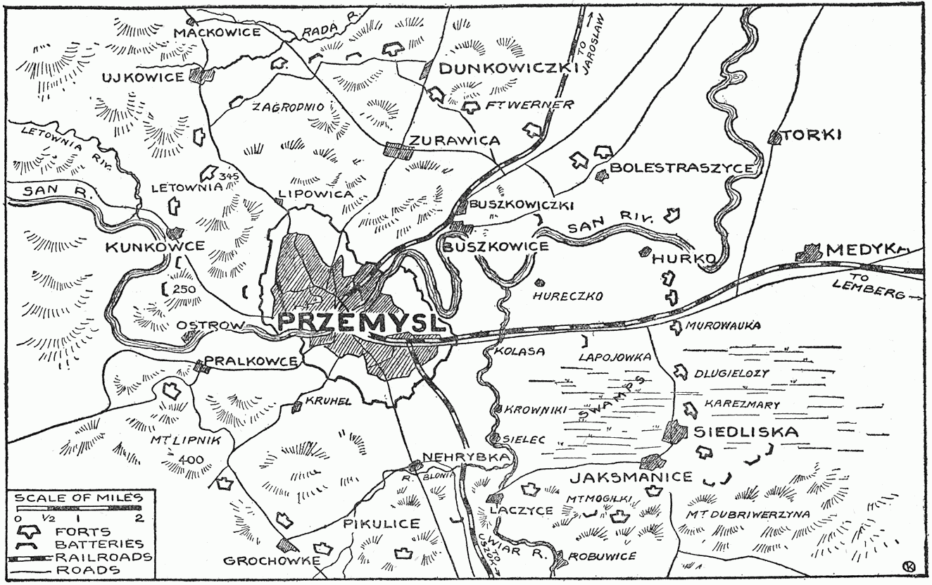
| Description | Map showing forts of Przemysl and surroundings, 1914 - 1915 | ||||||
| Date | |||||||
| Source |
"The Story of the Great War, Volume V (of 12)", published by P. F. COLLIER & SONS, NEW YORK. Downloaded from http://www.gutenberg.org/etext/23861 |
||||||
| Author | Francis Trevelyan Miller, Francis J. Reynolds, Allen L. Churchill editors. | ||||||
| Permission (Reusing this file) |
|


File history
Click on a date/time to view the file as it appeared at that time.
| Date/Time | Thumbnail | Dimensions | User | Comment | |
|---|---|---|---|---|---|
| current | 09:24, 2 January 2009 | | 1,324 × 831 (156 KB) | wikimediacommons>Rcbutcher | {{Information |Description=Map showing forts of Przemysl and surroundings, 1914 - 1915 |Source="The Story of the Great War, Volume V (of 12)", published by P. F. COLLIER & SONS, NEW YORK. <br>Downloaded from http://www.gutenberg.org/etext/23861 |Date=191 |
File usage
The following page uses this file: