File:Quttinirpaaq National Park map-fr.png
Jump to navigation
Jump to search

Size of this preview: 800 × 582 pixels. Other resolutions: 320 × 233 pixels | 640 × 466 pixels | 1,024 × 745 pixels | 1,280 × 932 pixels | 1,800 × 1,310 pixels.
Original file (1,800 × 1,310 pixels, file size: 712 KB, MIME type: image/png)
Summary
| Camera location | | View this and other nearby images on: OpenStreetMap |
|---|
| Description |
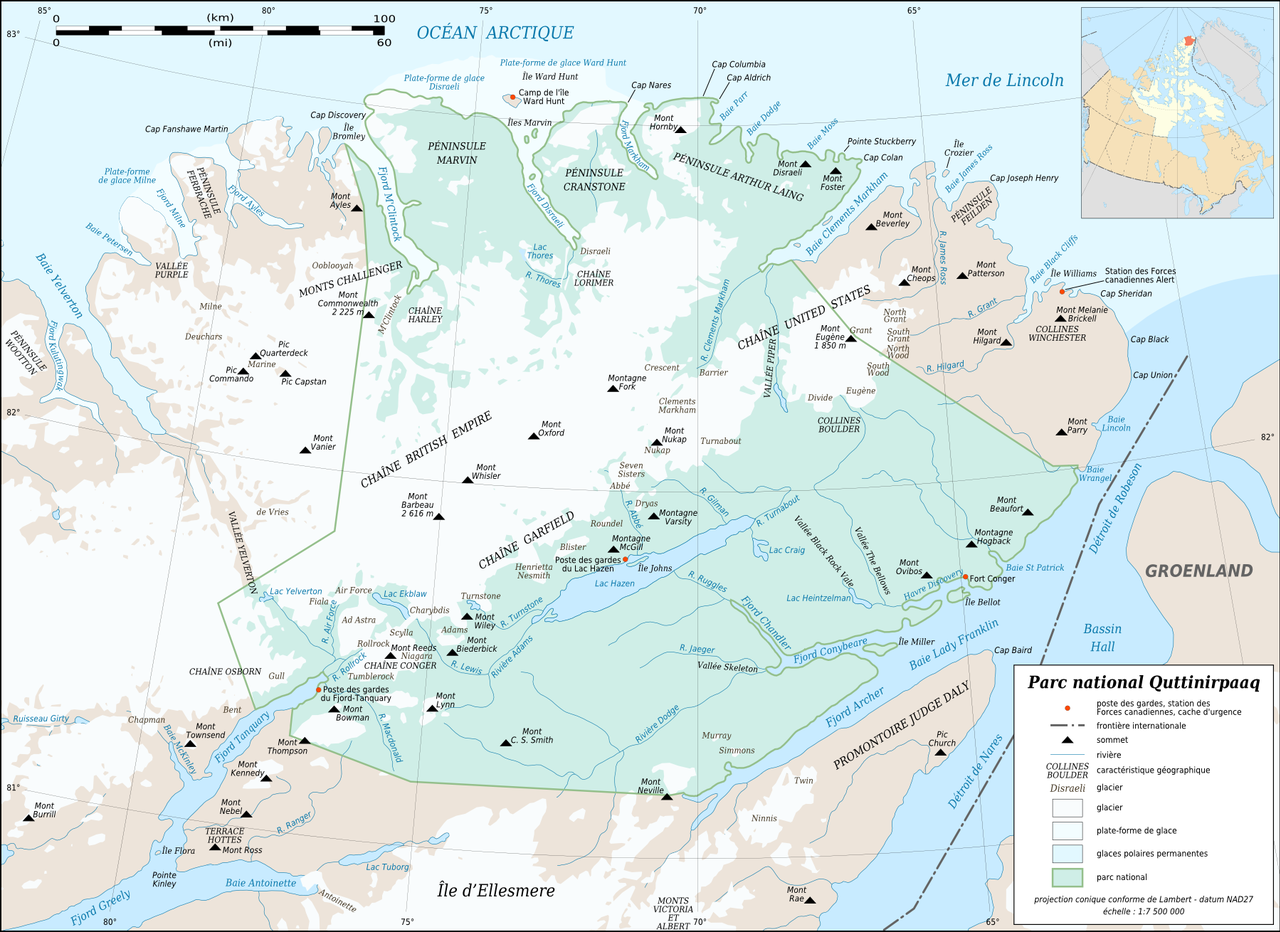
English: Map of Quttinirpaaq National Park, Nunavut, Canada.
Note: Consider using this PNG version which gives a better rendering of the labels on display than the SVG version. Français : Carte du parc national Quttinirpaaq, Nunavut, Canada.
Note : Préférer l'utilisation de cette version PNG qui donne un meilleur rendu des textes à l'affichage que la version SVG.
|
||
| Date | |||
| Source |
Own work |
||
| Author | Eric Gaba (Sting - fr:Sting) | ||
| Permission (Reusing this file) |
|
||
| Other versions |
|

Licensing
© Eric Gaba, Wikimedia Commons user Sting, the copyright holder of this work, hereby publishes it under the following license:
This file is licensed under the Creative Commons Attribution-Share Alike 3.0 Unported license.
Attribution:
© Eric Gaba, Wikimedia Commons user Sting
- You are free:
- to share – to copy, distribute and transmit the work
- to remix – to adapt the work
- Under the following conditions:
- attribution – You must give appropriate credit, provide a link to the license, and indicate if changes were made. You may do so in any reasonable manner, but not in any way that suggests the licensor endorses you or your use.
- share alike – If you remix, transform, or build upon the material, you must distribute your contributions under the same or compatible license as the original.
File history
Click on a date/time to view the file as it appeared at that time.
| Date/Time | Thumbnail | Dimensions | User | Comment | |
|---|---|---|---|---|---|
| current | 21:12, 18 September 2015 | | 1,800 × 1,310 (712 KB) | wikimediacommons>RokerHRO | optipng -i0 -zc1-9 -zm1-9 -zs0-3 -f0-5 -i0 → 31.35% decrease |
File usage
The following page uses this file: