File:Shosanbetsu village center area Aerial photograph.1977.jpg
Jump to navigation
Jump to search

Size of this preview: 800 × 577 pixels. Other resolutions: 320 × 231 pixels | 640 × 462 pixels | 1,024 × 739 pixels | 1,280 × 924 pixels | 2,560 × 1,847 pixels | 4,779 × 3,448 pixels.
Original file (4,779 × 3,448 pixels, file size: 12.07 MB, MIME type: image/jpeg)
Summary
| Description |
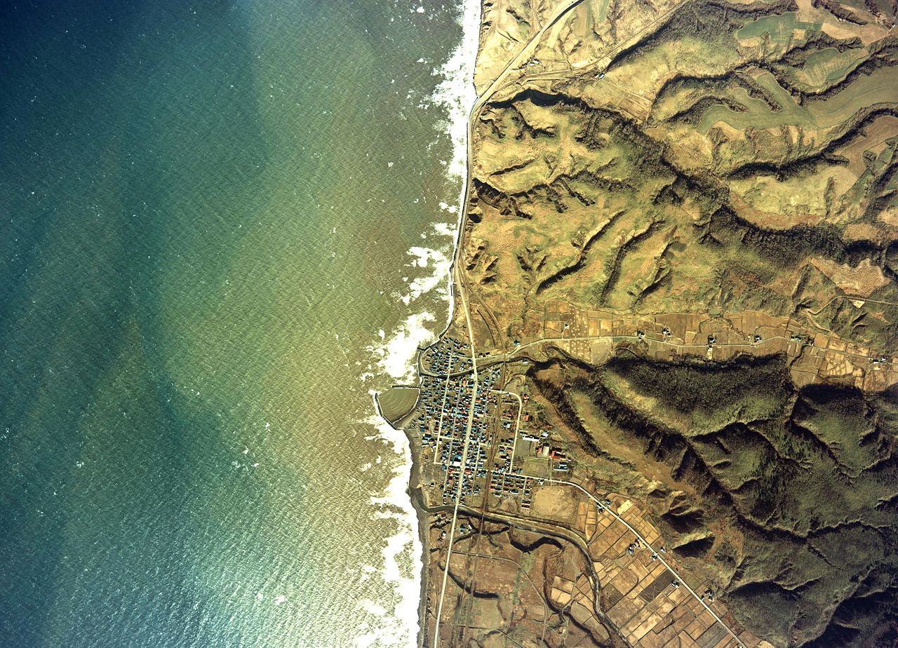
English: Shosanbetsu village center area Aerial photograph.1977
日本語: 初山別村(北海道)中心部付近の空中写真。Cho-77-55_c8aの1,2、合計2枚を合成作成。 |
| Date | |
| Source | 国土情報ウェブマッピングシステム |
| Author | 国土交通省 |
Licensing

|
The copyright holder of this file, the Ministry of Land, Infrastructure, Transport and Tourism of Japan, allows anyone to use it for any purpose, provided that the copyright holder is properly attributed. Redistribution, derivative work, commercial use, and all other use is permitted. |
Attribution:
Copyright © National Land Image Information (Color Aerial Photographs), Ministry of Land, Infrastructure, Transport and Tourism
|
File history
Click on a date/time to view the file as it appeared at that time.
| Date/Time | Thumbnail | Dimensions | User | Comment | |
|---|---|---|---|---|---|
| current | 06:23, 30 November 2013 | | 4,779 × 3,448 (12.07 MB) | wikimediacommons>さかおり | {{Information |Description ={{en|1=Shosanbetsu village center area Aerial photograph.1977}} {{ja|1=初山別村(北海道)中心部付近の空中写真。Cho-77-55_c8aの1,2、合計2枚を合成作成。}} |Source =国土情報ウェ�... |
File usage
The following page uses this file: