File:South section large.jpg

Original file (1,500 × 963 pixels, file size: 158 KB, MIME type: image/jpeg)
| Description |
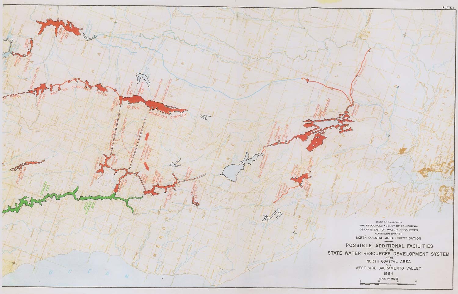
English: Map of some dams and diversions proposed on the Eel River as potential expansion for the California State Water Project. Photographic reproduction of original DWR document, which is public domain |
|||
| Date | circa 1964 | |||
| Source | http://www.pottervalleywater.org/i/maps/south_section_large.jpg | |||
| Author | California Department of Water Resources, North Coastal Area Investigation | |||
| Permission (Reusing this file) |
|

File history
Click on a date/time to view the file as it appeared at that time.
| Date/Time | Thumbnail | Dimensions | User | Comment | |
|---|---|---|---|---|---|
| current | 17:44, 5 January 2014 | | 1,500 × 963 (158 KB) | wikimediacommons>Shannon1 | {{Information |Description ={{en|1=Map of some dams and diversions proposed on the Eel River as potential expansion for the California State Water Project. Photographic reproduction of original DWR document, which is public domain}} |Source... |
File usage
The following page uses this file: