File:Spaghettibowl.png
Jump to navigation
Jump to search
Size of this preview: 750 × 600 pixels. Other resolutions: 300 × 240 pixels | 600 × 480 pixels | 1,000 × 800 pixels.
Original file (1,000 × 800 pixels, file size: 1.36 MB, MIME type: image/png)
Summary
| Description |
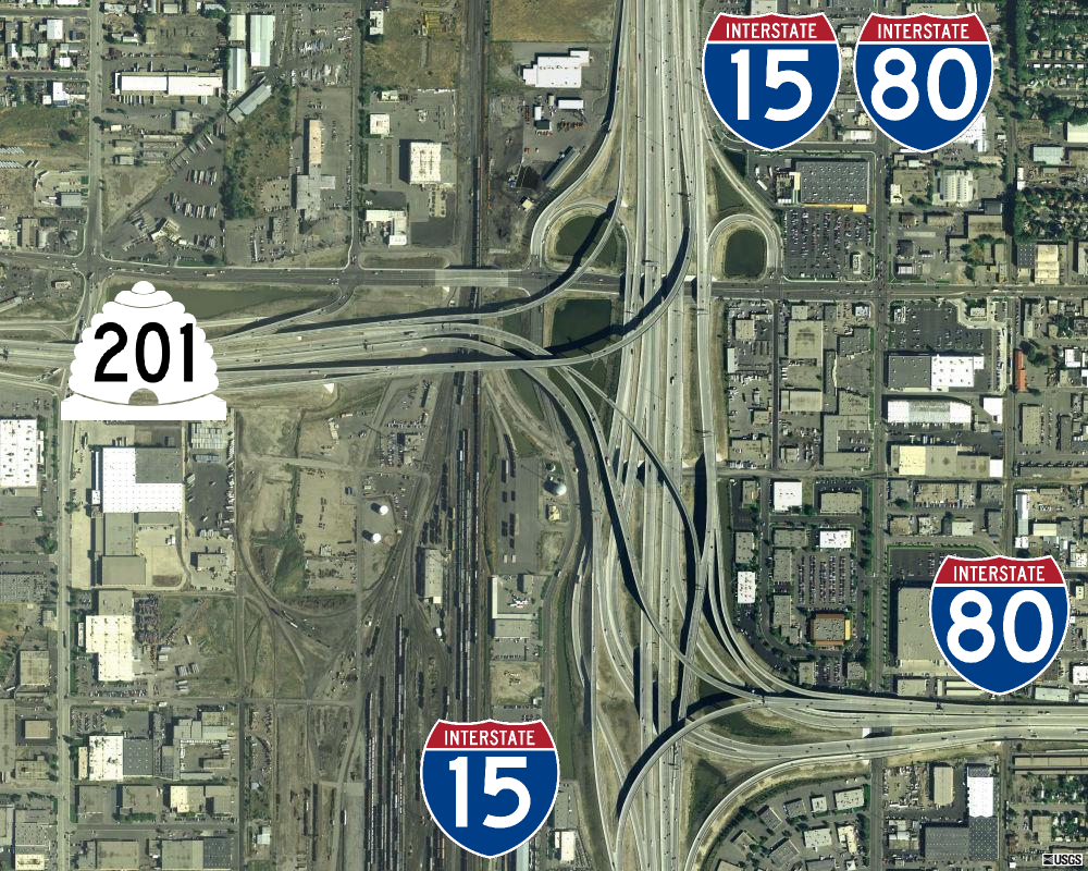
English: Aerial image of the "spaghetti bowl", the junction of SR-201, I-15, and I-80 in South Salt Lake, Utah.
|
||||||||||||
| Date | |||||||||||||
| Source | MSR Maps (September 18, 2003). "2700 S Main St, Salt Lake City, UT 84115 Salt Lake City, Utah, United States" (Map). Cartography by U.S. Geological Survey. | ||||||||||||
| Author |
|
||||||||||||
| Permission (Reusing this file) |
Base Image
ShieldsInterstate shields
Utah state route shield
|


.svg)




.svg)
.svg)

| Camera location |  | View this and other nearby images on: OpenStreetMap |  |
|---|

| Annotations | This image is annotated: View the annotations at Commons |
File history
Click on a date/time to view the file as it appeared at that time.
| Date/Time | Thumbnail | Dimensions | User | Comment | |
|---|---|---|---|---|---|
| current | 01:29, 5 February 2014 | | 1,000 × 800 (1.36 MB) | wikimediacommons>Admrboltz | pngcrush -reduce -brute (14.90% critical chunk reduction) |
File usage
The following page uses this file:
