File:St Mary's church - geograph.org.uk - 1337075.jpg
Jump to navigation
Jump to search
Size of this preview: 493 × 600 pixels. Other resolutions: 197 × 240 pixels | 526 × 640 pixels.
Original file (526 × 640 pixels, file size: 105 KB, MIME type: image/jpeg)
Summary
| Description |
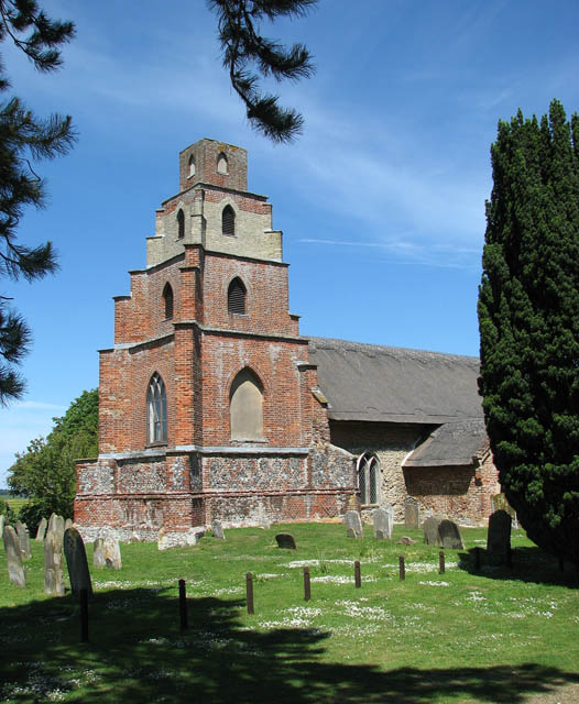
English: West tower of St Mary's parish church, Burgh St Peter, Norfolk, seen from the southwest |
| Date | |
| Source | From geograph.org.uk |
| Author | Evelyn Simak |
| Attribution (required by the license) | Evelyn Simak / St Mary's church / |
| Camera location | | View this and other nearby images on: OpenStreetMap |
|---|
_heading:22.00&language=en)
| Object location | | View this and other nearby images on: OpenStreetMap |
|---|
_heading:22.00&language=en)
Licensing

|
This image was taken from the Geograph project collection. See this photograph's page on the Geograph website for the photographer's contact details. The copyright on this image is owned by Evelyn Simak and is licensed for reuse under the Creative Commons Attribution-ShareAlike 2.0 license.
|
This file is licensed under the Creative Commons Attribution-Share Alike 2.0 Generic license.
Attribution:
Evelyn Simak
- You are free:
- to share – to copy, distribute and transmit the work
- to remix – to adapt the work
- Under the following conditions:
- attribution – You must give appropriate credit, provide a link to the license, and indicate if changes were made. You may do so in any reasonable manner, but not in any way that suggests the licensor endorses you or your use.
- share alike – If you remix, transform, or build upon the material, you must distribute your contributions under the same or compatible license as the original.
File history
Click on a date/time to view the file as it appeared at that time.
| Date/Time | Thumbnail | Dimensions | User | Comment | |
|---|---|---|---|---|---|
| current | 02:24, 28 February 2011 | | 526 × 640 (105 KB) | wikimediacommons>GeographBot | == {{int:filedesc}} == {{Information |description={{en|1=St Mary's church St Mary's church > http://www.geograph.org.uk/photo/1337060 - which at some time in the past was dedicated to St Peter - is situated about 2 kilometres from the centre of Burgh S |
File usage
The following page uses this file: