File:Takarazuka city center area Aerial photograph.1985.jpg
Jump to navigation
Jump to search
Size of this preview: 800 × 575 pixels. Other resolutions: 320 × 230 pixels | 640 × 460 pixels | 1,024 × 736 pixels | 1,280 × 920 pixels | 2,560 × 1,839 pixels | 7,602 × 5,461 pixels.
Original file (7,602 × 5,461 pixels, file size: 31.9 MB, MIME type: image/jpeg)
Summary
| Description |
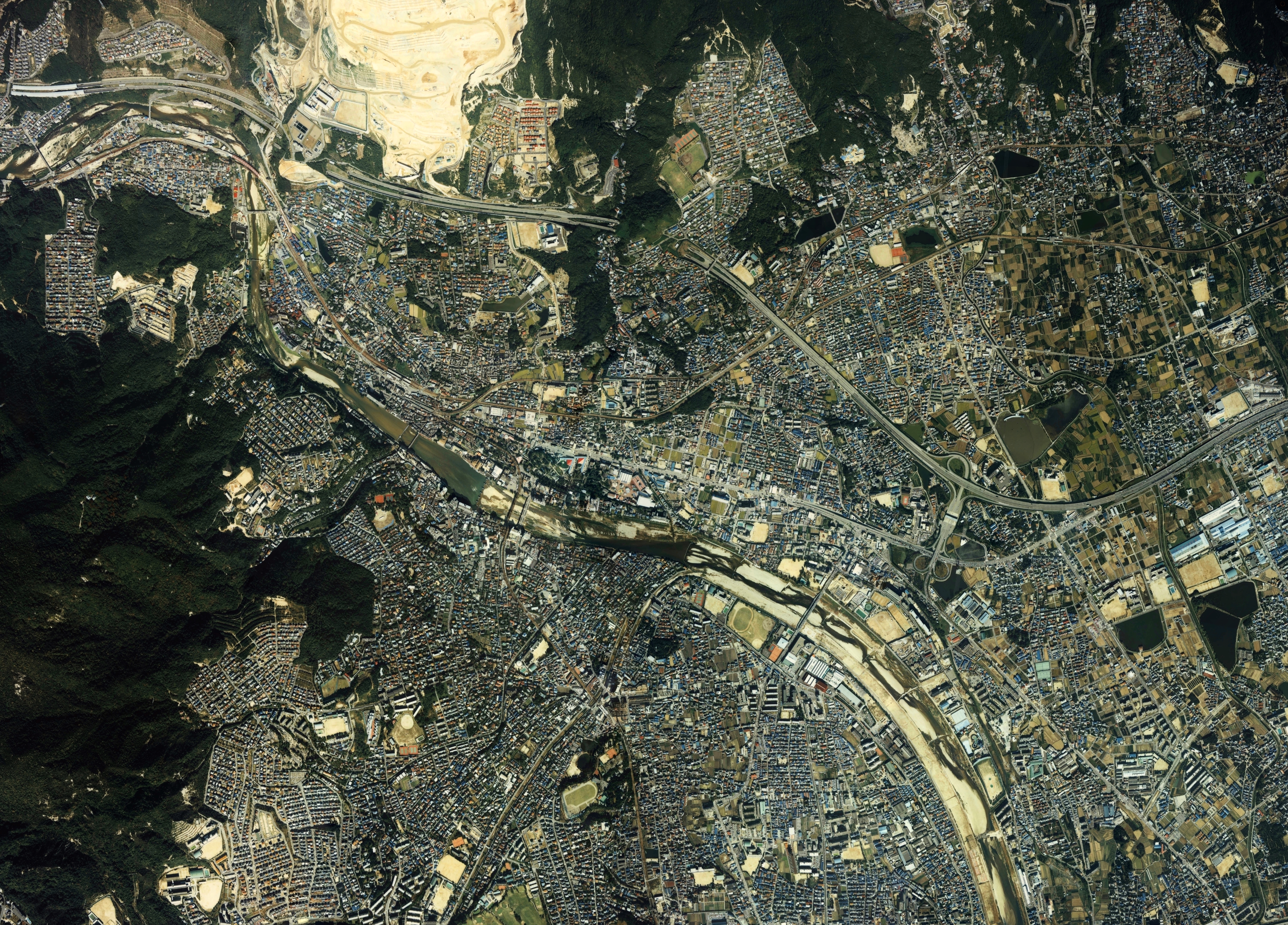
English: Takarazuka city center area Aerial photograph.1985
日本語: 宝塚市(兵庫県)中心部周辺の空中写真。ckk-85-4_c2の33,34,35,36、ckk-85-4_c3bの14,15,16,17,18、合計9枚を合成作成。 |
| Date | |
| Source | 国土情報ウェブマッピングシステム |
| Author | 国土交通省 |
Licensing

|
The copyright holder of this file, the Ministry of Land, Infrastructure, Transport and Tourism of Japan, allows anyone to use it for any purpose, provided that the copyright holder is properly attributed. Redistribution, derivative work, commercial use, and all other use is permitted. |
Attribution:
Copyright © National Land Image Information (Color Aerial Photographs), Ministry of Land, Infrastructure, Transport and Tourism
|
File history
Click on a date/time to view the file as it appeared at that time.
| Date/Time | Thumbnail | Dimensions | User | Comment | |
|---|---|---|---|---|---|
| current | 01:43, 23 March 2014 | | 7,602 × 5,461 (31.9 MB) | wikimediacommons>さかおり | {{Information |Description ={{en|1=Takarazuka city center area Aerial photograph.1985}} {{ja|1=宝塚市(兵庫県)中心部周辺の空中写真。ckk-85-4_c2の33,34,35,36、ckk-85-4_c3bの14,15,16,17,18、合計9枚を合成作成。}} |Sourc... |
File usage
The following page uses this file: