File:Territorial waters - Kiribati.svg
Jump to navigation
Jump to search

Size of this PNG preview of this SVG file: 800 × 400 pixels. Other resolutions: 320 × 160 pixels | 640 × 320 pixels | 1,024 × 512 pixels | 1,280 × 640 pixels | 2,560 × 1,280 pixels.
Original file (SVG file, nominally 800 × 400 pixels, file size: 695 KB)
Summary
| Description |
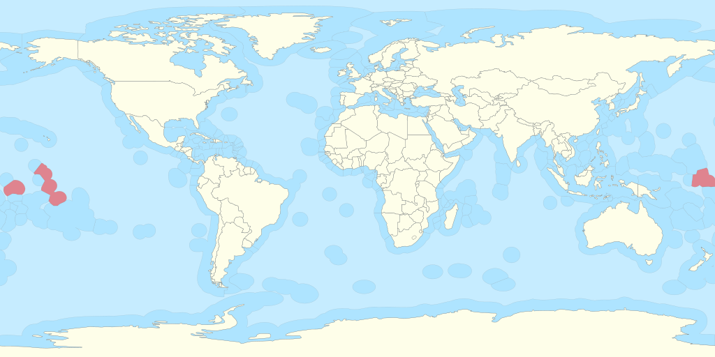
Español: Territorio de Kiribati y sus aguas territoriales. English: Territory of Kiribati and its territorial waters. |
| Date | |
| Source |
Own work based on: Exclusive Economic Zones - World.svg: |
| Author | B1mbo |
| Permission (Reusing this file) |
I, the copyright holder of this work, hereby publish it under the following license: This file is licensed under the Creative Commons Attribution-ShareAlike 3.0 Chile license.
 |
| SVG development |
File history
Click on a date/time to view the file as it appeared at that time.
| Date/Time | Thumbnail | Dimensions | User | Comment | |
|---|---|---|---|---|---|
| current | 13:45, 25 August 2025 | | 800 × 400 (695 KB) | wikimediacommons>Serraria | Reverted to version as of 18:06, 1 November 2011 (UTC): the "Peanut Hole" was never added to Russia's EEZ, only to its continental shelf, which is a distinct legal status (UNCLOS art. 78). "The exclusive economic zone shall not extend beyond 200 nautical miles from the baselines from which the breadth of the territorial sea is measured" (art. 57). |
File usage
The following page uses this file: