File:Txu-oclc-6614368-nm52-4.jpg
Jump to navigation
Jump to search

Size of this preview: 795 × 600 pixels. Other resolutions: 318 × 240 pixels | 636 × 480 pixels | 1,018 × 768 pixels | 1,280 × 966 pixels | 2,560 × 1,931 pixels | 5,000 × 3,772 pixels.
Original file (5,000 × 3,772 pixels, file size: 4.43 MB, MIME type: image/jpeg)
Summary
| Description |
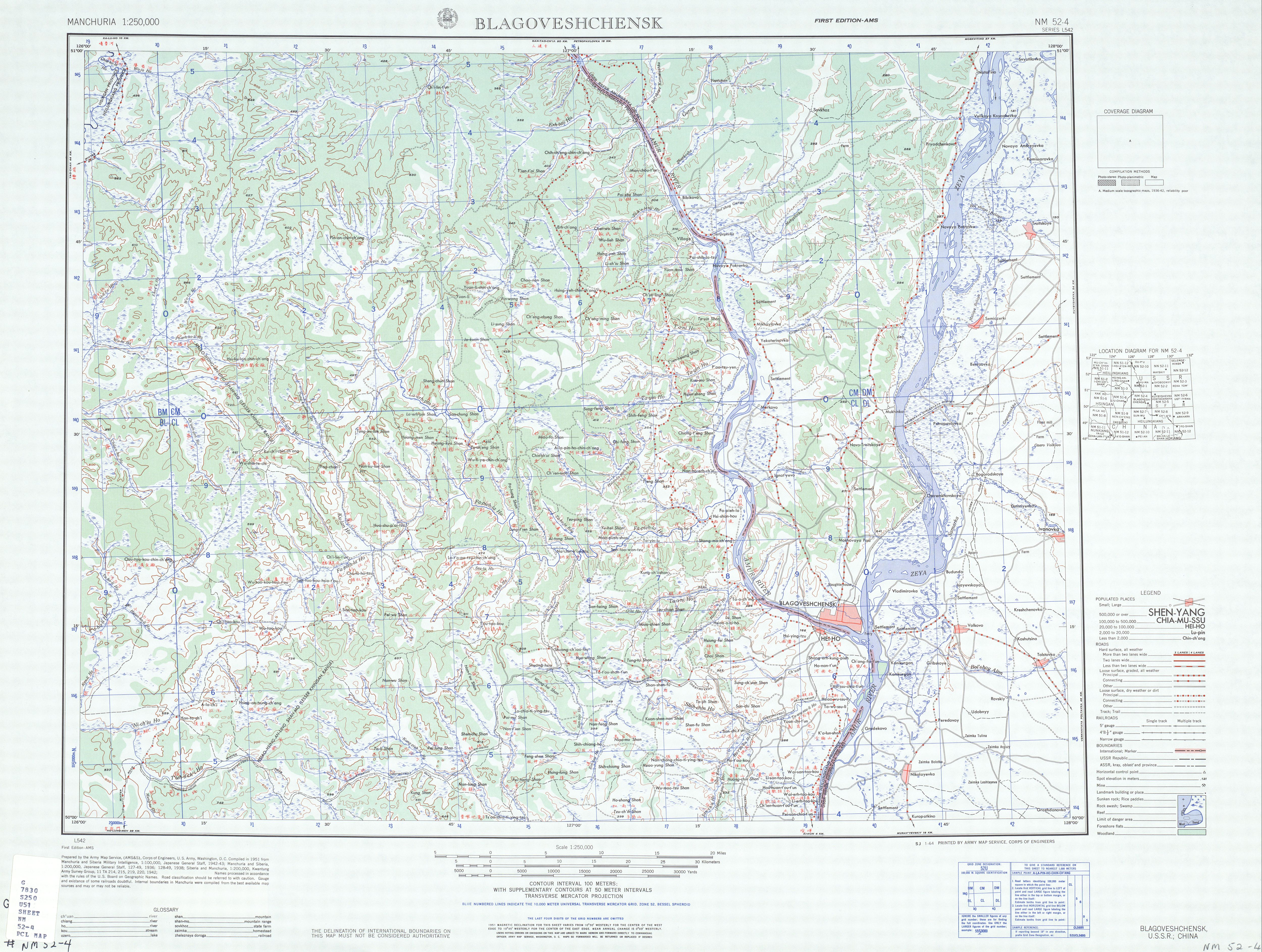
English: Map of Blagoveshchensk area, USSR (present-day Russia) |
|||||||||
| Date | ||||||||||
| Source | http://legacy.lib.utexas.edu/maps/ams/manchuria/txu-oclc-6614368-nm52-4.jpg | |||||||||
| Creator |
Army Map Serivce (PV), Corps of Engineers 1951 |
|||||||||
| Geotemporal data | ||||||||||
| Bounding box |
|
|||||||||
| Georeferencing | ||||||||||

-
 Index Map


Licensing

|
This image or file is a work of a U.S. Army Corps of Engineers soldier or employee, taken or made as part of that person's official duties. As a work of the U.S. federal government, the image is in the public domain.
|
 |
File history
Click on a date/time to view the file as it appeared at that time.
| Date/Time | Thumbnail | Dimensions | User | Comment | |
|---|---|---|---|---|---|
| current | 01:34, 12 September 2019 | | 5,000 × 3,772 (4.43 MB) | wikimediacommons>Geographyinitiative | User created page with UploadWizard |
File usage
The following page uses this file:
