File:UNGA 3379 Map.png
Jump to navigation
Jump to search
Original file (1,357 × 628 pixels, file size: 42 KB, MIME type: image/png)
Summary
Aris Katsaris's GNU map from wikipedia showing w:UN General Assembly Resolution 3379
Licensing
| This file is licensed under the Creative Commons Attribution-Share Alike 3.0 Unported license. Subject to disclaimers. | ||
| ||
| This licensing tag was added to this file as part of the GFDL licensing update. |

|
Permission is granted to copy, distribute and/or modify this document under the terms of the GNU Free Documentation License, Version 1.2 or any later version published by the Free Software Foundation; with no Invariant Sections, no Front-Cover Texts, and no Back-Cover Texts. A copy of the license is included in the section entitled GNU Free Documentation License. Subject to disclaimers. |
| Annotations | This image is annotated: View the annotations at Commons |
File history
Click on a date/time to view the file as it appeared at that time.
| Date/Time | Thumbnail | Dimensions | User | Comment | |
|---|---|---|---|---|---|
| current | 22:22, 23 July 2021 | 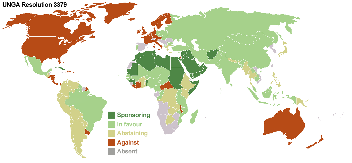 | 1,357 × 628 (42 KB) | wikimediacommons>Kirkworld | Accurate borders for South Africa, France; and the United States |
File usage
The following page uses this file: