File:Wfm prince patrick island.jpg
Jump to navigation
Jump to search
Size of this preview: 800 × 593 pixels. Other resolutions: 320 × 237 pixels | 640 × 474 pixels | 1,024 × 758 pixels | 1,280 × 948 pixels.
Original file (1,280 × 948 pixels, file size: 258 KB, MIME type: image/jpeg)
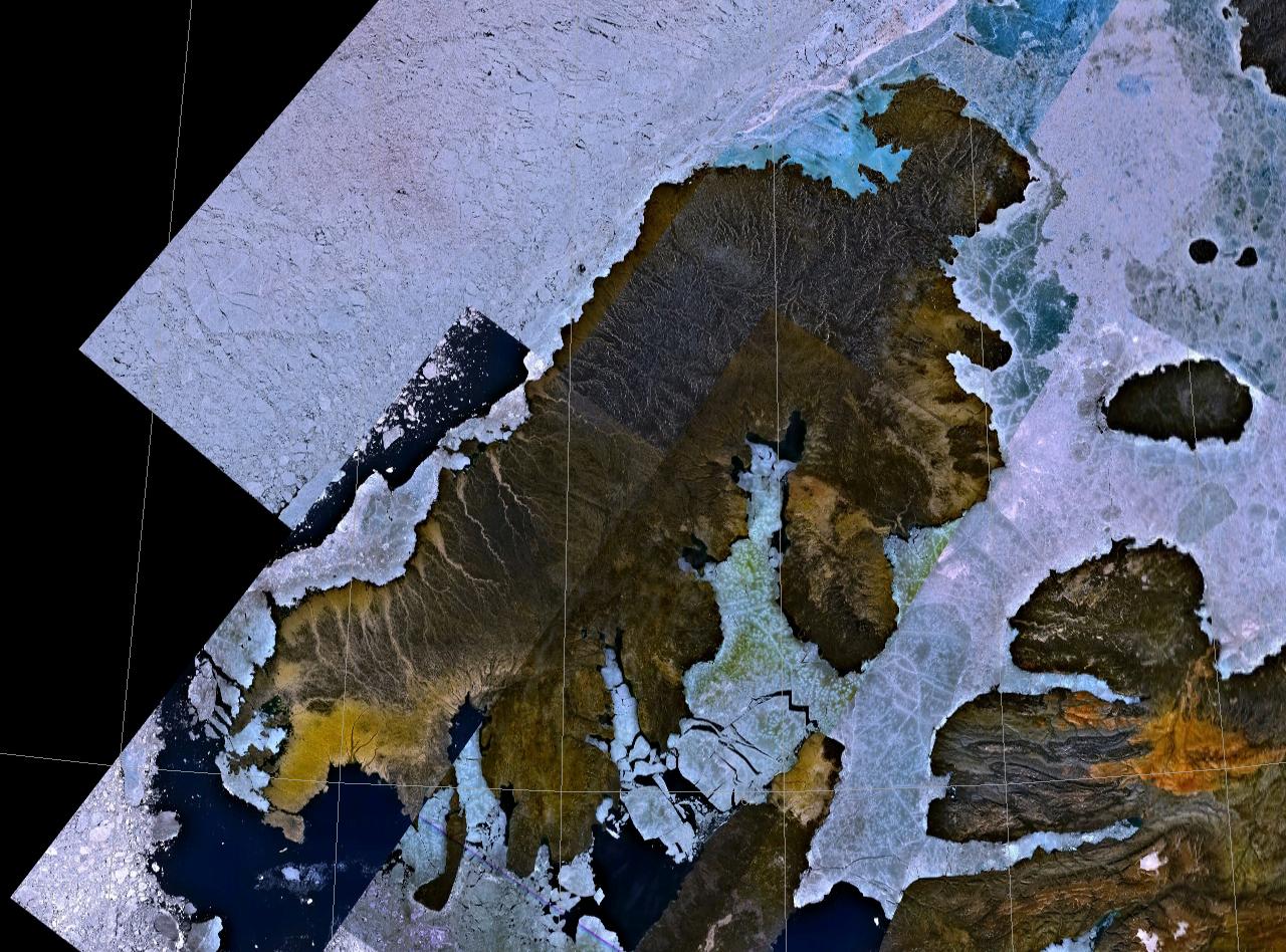
| Description | Prince Patrick Island, Canada |
| Date | Unknown date |
| Source | NASA Landsat |
| Author | NASA |
| Permission (Reusing this file) |
usgov-PD |
| This image is in the public domain because it is a screenshot from NASA’s globe software World Wind using a public domain layer, such as Blue Marble, MODIS, Landsat, SRTM, USGS or GLOBE.
|
 |
File history
Click on a date/time to view the file as it appeared at that time.
| Date/Time | Thumbnail | Dimensions | User | Comment | |
|---|---|---|---|---|---|
| current | 22:52, 28 April 2006 | | 1,280 × 948 (258 KB) | wikimediacommons>Finlay McWalter | {{Information| |Description=Prince Patrick Island, Canada |Source=NASA Landsat |Date=? |Author=NASA |Permission=usgov-PD |other_versions= }} {{PD-WorldWind}} Category:Satellite images of islands Category:Satellite pictures of Canada |
File usage
The following page uses this file: