Dimbulah, Queensland
Template:Use dmy dates Template:Use Australian English Template:GeoGroup Template:Infobox Australian place Dimbulah is a rural town and locality in Far North Queensland, Australia, Template:Convert from Cairns by road, on the Atherton Tableland.<ref>Template:Cite QPN</ref><ref>Template:Cite QPN</ref> It is within the local government area of Shire of Mareeba (between 2008 and 2013, it was within the Tablelands Region). In the Template:CensusAU, the locality of Dimbulah had a population of 975 people,<ref name=Census2021/> a decrease from the 1,050 people in the Template:CensusAU.<ref name=Census2016/>
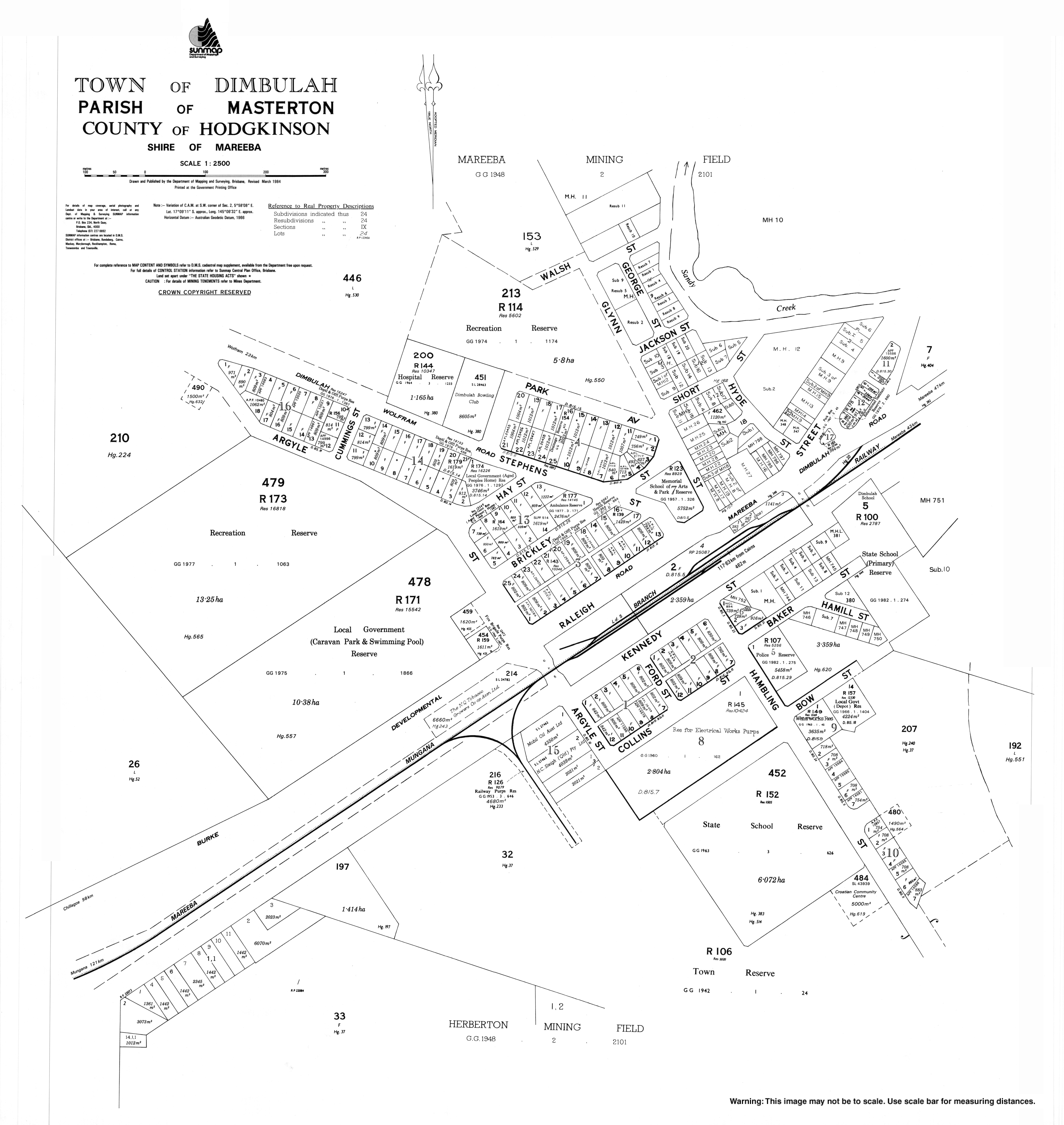
The historic mining town of Wolfram is within the locality.
Geography
_(19057113310).jpg)
Dimbulah is Template:Convert south-west of Cairns.<ref>Template:Cite Google Maps</ref>
The Tablelands railway line passes through the locality which is served by the following railway stations (from north to south):
- Chircan railway station, now abandoned (Template:Coord)<ref name="railwaystations" />
- Dimbulah railway station (Template:Coord)<ref name="railwaystations" />
- Leafgold railway station, now abandoned (Template:Coord)<ref name="railwaystations" />
- Carbonate Creek railway station, now abandoned (Template:Coord)<ref name="railwaystations" />
- Solanum railway station, now abandoned (Template:Coord)<ref name="railwaystations" />
- Boonmoo railway station (Template:Coord)<ref name="railwaystations">{{#invoke:citation/CS1|citation
|CitationClass=web }}</ref>
- Verdure railway station, now abandoned (Template:Coord)<ref name="railwaystations" />
The main vegetation is low open woodlands consisting mainly of the eucalypts such as bloodwood, box along with melaleucas and a grass cover of kangaroo grass and spear grass.<ref>DNR Mareeba 1997</ref>
History
The town was established in 1876 to service the Tyrconnell Gold Mine, one of the richest mines on the Hodgkinson Gold Fields. The name "Dimbulah" is thought to have come from the local Indigenous Australian word for "long waterhole", referring to the Walsh River that runs nearby the town. Dimboola Post Office opened by 1900 and was renamed Dimbulah in 1904.<ref name = "Post Office">{{#invoke:citation/CS1|citation |CitationClass=web }}</ref>
The area around Dimbulah was originally home to the Djankun<ref>{{#invoke:citation/CS1|citation |CitationClass=web }}</ref> and Kuku Djungan tribe.Template:Citation needed
Wolfram Camp Provisional School opened in 1905. On 1 January 1909, it became Wolfram Camp State School and was renamed that year to be Wolfram State School. It closed in 1930, reopened in 1938 and then closed finally circa 1940.<ref name="qfhs2">Template:Citation</ref>
Boonmoo Provisional School opened circa July 1910 and closed circa April 1912.<ref name="qfhs" /> It was on Boonmoo Road (Template:Coord).<ref>{{#invoke:citation/CS1|citation |CitationClass=web }}</ref><ref name="globe2">Template:Queensland Globe</ref>
Dimbulah Provisional School opened on 28 September 1914. On 1 December 1914, it became Dimbulah State School. On 25 January 1965, it was expanded to include a secondary department.<ref name="qfhs">Template:Citation</ref> The school celebrated its centenary on 27 September 2014.<ref>Template:Citation</ref>
The Dimbulah parish of the Roman Catholic Diocese of Cairns was established in 1963.<ref name=":0" />
St Anthony's Catholic School opened in January 1966 by the Sisters of St Joseph with an initial enrolment of 64 students. The Sisters operated the school for 22 years, after which it was operated by the Roman Catholic Diocese of Cairns.<ref name="qfhs" /><ref>{{#invoke:citation/CS1|citation |CitationClass=web }}</ref>

The Dimbulah Public Library opened in 1995 with a minor refurbishment in 2013.<ref>{{#invoke:citation/CS1|citation
|CitationClass=web }}</ref>
Demographics
In the Template:CensusAU, the locality of Dimbulah had a population of 1,414 people.<ref name="Census2011">Template:Census 2011 AUS</ref>
In the Template:CensusAU, the locality of Dimbulah had a population of 1,050 people.<ref name=Census2016>Template:Census 2016 AUS</ref>
In the Template:CensusAU, the locality of Dimbulah had a population of 975 people.<ref name=Census2021>Template:Census 2021 AUS</ref>
Heritage listings
Dimbulah has a number of sites listed on the Queensland Heritage Register including:
- La Société Française des Métaux Rares treatment plant, Main Street, Wolfram<ref>Template:Cite QHR</ref>
- Thermo Electric Ore Reduction Corporation Mill, Wolfram Road, Wolfram<ref>Template:Cite QHR</ref>
Economy
Tobacco remained the dominant crop until recent years when government policy compelled its demise. Recent attempts at alternative crops such as tea trees, mangoes, sugar cane, coffee, lemons, limes, avocados, papaws, papayas, peanuts, soya beans, lychees, grapes and cash crops (pumpkins, melons, etc.) have met with mixed success.<ref>{{#invoke:citation/CS1|citation |CitationClass=web }}</ref>
Education

Dimbulah State School is a government primary and secondary (Prep-10) school for boys and girls at 48-50 Kennedy Street (Template:Coord).<ref name="SchoolList2018">{{#invoke:citation/CS1|citation |CitationClass=web }}</ref><ref>{{#invoke:citation/CS1|citation |CitationClass=web }}</ref> In 2018, the school had an enrolment of 150 students with 17 teachers (14 full-time equivalent) and 13 non-teaching staff (9 full-time equivalent).<ref name="ACARA2018">{{#invoke:citation/CS1|citation |CitationClass=web }}</ref>
St Anthony's School is a Catholic primary (Prep-6) school for boys and girls at 3 Hyde Street (Template:Coord).<ref name="SchoolList2018" /><ref>{{#invoke:citation/CS1|citation |CitationClass=web }}</ref> In 2018, the school had an enrolment of 37 students with 8 teachers (5 full-time equivalent) and 10 non-teaching staff (4 full-time equivalent).<ref name="ACARA2018" />
There are no schools offering education to Year 12 in Dimbulah. The nearest government secondary school with education to Year 12 is Mareeba State High School in Mareeba to the north-east. However, it would be too distant from some parts of Dimbulah and distance education and boarding schools would be other options.<ref name="globe">Template:Queensland Globe</ref>
Amenities

The Mareeba Shire operates a public library at Shire Hall at the corner of Raleigh Street and Burke Development Road.<ref>{{#invoke:citation/CS1|citation |CitationClass=web }}</ref>
The Dimbulah branch of the Queensland Country Women's Association meets at the QCWA Hall at 22 Brickley Street.<ref>{{#invoke:citation/CS1|citation |CitationClass=web }}</ref>
St Anthony's Catholic Church is in Raleigh Street. It is within the Dimbulah Parish of the Roman Catholic Diocese of Cairns which is administered from the Atherton parish.<ref name=":0">{{#invoke:citation/CS1|citation |CitationClass=web }}</ref>
Events
St Anthony's Catholic Church celebrates the Feast Day of St Anthony of Padua on the 3rd Sunday of June with a special mass, followed by a procession, barbeque and pesca (a lucky dip which takes its name from the Italian pesca miracolosa, the miraculous catch of fish).<ref name=":0" />
Notable people
- The Hon. Keith De Lacy AM, former Treasurer of Queensland
- Chris Sheppard, former NRL player<ref>Template:Cite newsTemplate:Dead linkTemplate:Cbignore</ref>
- William Yang, photographer and actor<ref>{{#invoke:citation/CS1|citation
|CitationClass=web }}</ref><ref>{{#invoke:citation/CS1|citation |CitationClass=web }}</ref>
References
External links
Template:Sister project Template:Portal
Template:Shire of Mareeba Template:Atherton Tableland nav box