File:Path from The Doon to King's Cave, Arran.jpg
Jump to navigation
Jump to search
Size of this preview: 800 × 521 pixels. Other resolutions: 320 × 208 pixels | 640 × 417 pixels | 1,024 × 667 pixels | 1,280 × 834 pixels | 2,560 × 1,668 pixels | 3,873 × 2,523 pixels.
Original file (3,873 × 2,523 pixels, file size: 2.06 MB, MIME type: image/jpeg)
Summary
| Description |
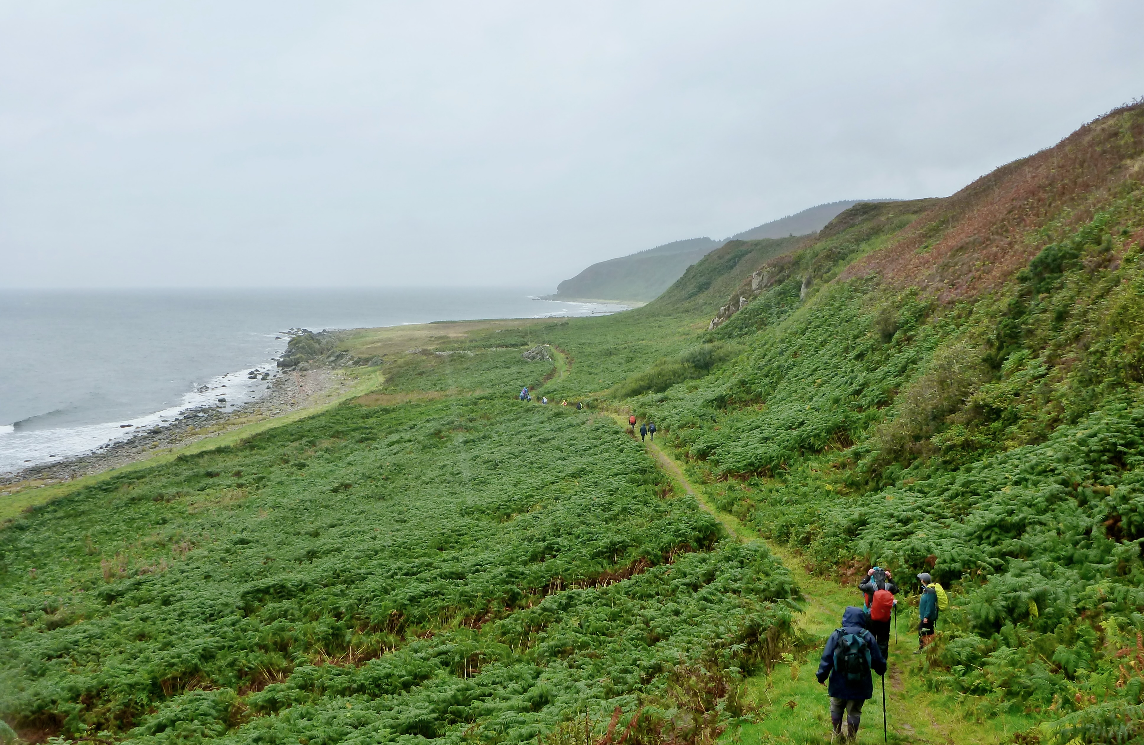
English: Path from The Doon to King's Cave, Arran, passing Cleiteadh nan Sgarbh headland, showing profile of caves and slopes of the hill above them, Torr Righ Mor (big hillock of the king), featuring 30 metre (98 ft) raised beach. |
| Date | |
| Source | Own work |
| Author | dave souza |
Licensing
I, the copyright holder of this work, hereby publish it under the following license:
This file is licensed under the Creative Commons Attribution-Share Alike 4.0 International license.
- You are free:
- to share – to copy, distribute and transmit the work
- to remix – to adapt the work
- Under the following conditions:
- attribution – You must give appropriate credit, provide a link to the license, and indicate if changes were made. You may do so in any reasonable manner, but not in any way that suggests the licensor endorses you or your use.
- share alike – If you remix, transform, or build upon the material, you must distribute your contributions under the same or compatible license as the original.
File history
Click on a date/time to view the file as it appeared at that time.
| Date/Time | Thumbnail | Dimensions | User | Comment | |
|---|---|---|---|---|---|
| current | 11:30, 9 May 2022 | | 3,873 × 2,523 (2.06 MB) | wikimediacommons>Dave souza | Uploaded own work with UploadWizard |
File usage
The following page uses this file: