Geography of the Gambia


The Gambia is a very small and narrow African country with the border based on the Gambia River. The country is less than Template:Convert wide at its greatest width. The country's present boundaries were defined in 1889 after an agreement between the United Kingdom and France. It is often claimed by Gambians that the distance of the borders from the Gambia River corresponds to the area that British naval cannon of the time could reach from the river's channel. However, there is no historical evidence to support the story, and the border was actually delineated using careful surveying methods by the Franco-British boundary commission.<ref>Donald R. Wright (2004). The World and a Very Small Place: A History of Globalization in Niumi, The Gambia (New York: M.E. Sharp) p. 151–152.</ref><ref>Craig Emms and Linda Barnett (2001). Bradt Travel Guide for The Gambia (Chalford, UK: Bradt Travel Guides).</ref> The Gambia is almost an enclave of Senegal and is the smallest country on mainland Africa.
Terrain
The grassy flood plain of the Gambia river contains Guinean mangroves near the coast, and becomes West Sudanian savanna upriver inland.
Statistics
Location: Western Africa, bordering the North Atlantic Ocean and Senegal
Geographic coordinates: Template:Coord
Area:
total: 11,295 km2
land: 10,000 km2
water: 1,295 km2
Land boundaries:
total: 749 km
border countries: Senegal 749 km
Coastline: 80 km
Maritime claims:
- territorial sea: Template:Convert
- contiguous zone: Template:Convert
- exclusive fishing zone: Template:Convert
- continental shelf: extent not specified

Climate: tropical; hot, rainy season (June to November); cooler, dry season (November to May)
Terrain: floodplain of the Gambia River, flanked by low hills
Elevation extremes:
- lowest point: Atlantic Ocean 0 m
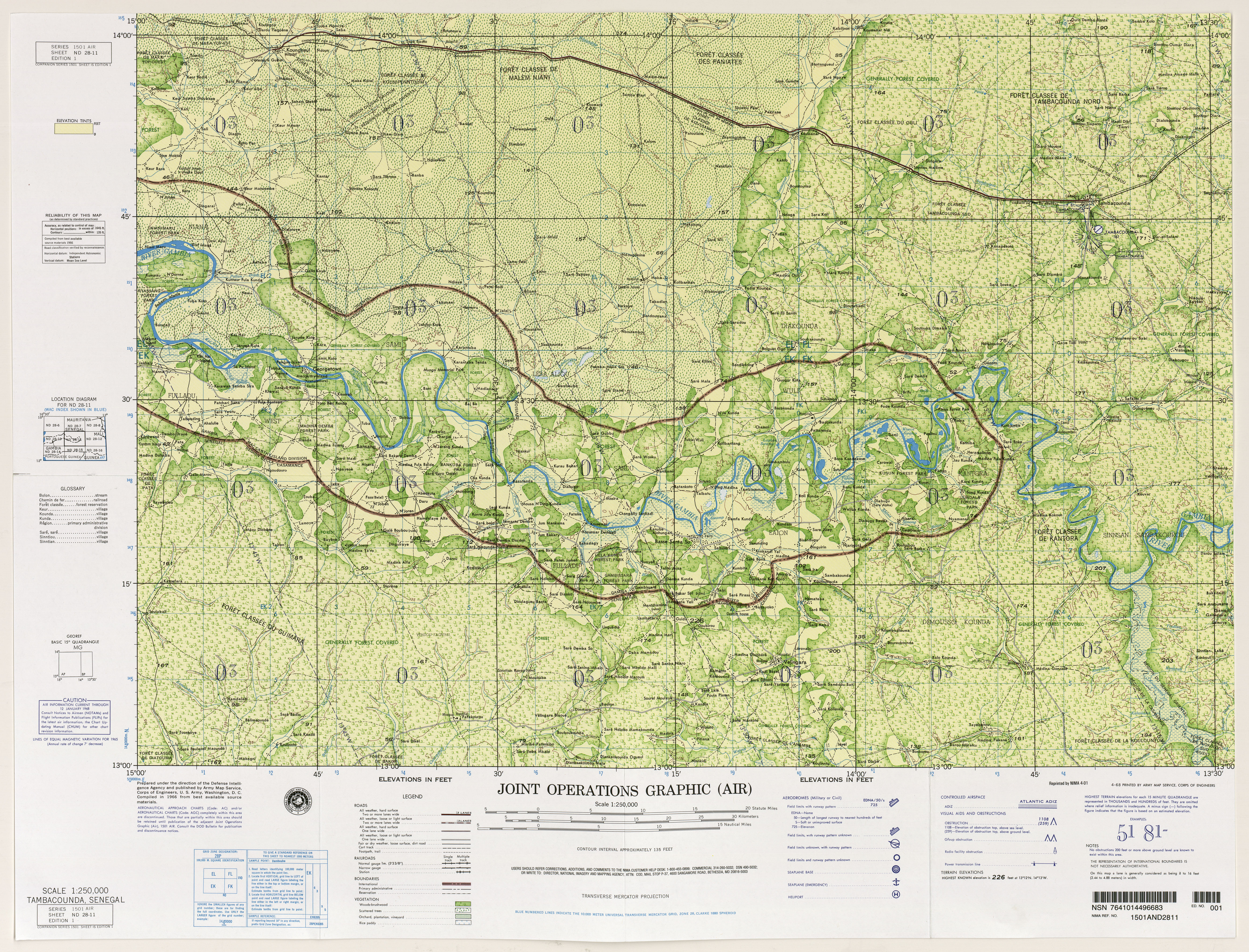
- highest point: at least 53 m according to The World Factbook and a 1966 map by U.S. National Imagery and Mapping Agency,<ref>Global Environment Facility, United Nations Environment Programme (eds.): The Gambia’s Second National Communication under the United Nations Framework Convention on Climate ChangeTemplate:Dead link. Banjul, November 2012, p. 32.</ref><ref name="factbook">The World Factbook: The Gambia. Chapter Geography and map.</ref><ref name="map">On a 1966 map, two points close to Jah Kunda and Nyamanari are indicated with 174 feet, thus 53 m. Source: West Africa, Joint Operations Graphic 1:250,000: map ND 28-11 Tambacounda, Senegal (11MB). U.S. National Imagery and Mapping Agency. Map data from 1966.</ref> 64 m based on SRTM data calculated by peakbagger.com between Sabi and the Senegalese village Vélingara (Template:Coord),<ref>{{#invoke:citation/CS1|citation
|CitationClass=web }}.</ref> located in a sandstone plateau at the border with Senegal<ref name="jaiteh">Malanding S. Jaiteh, Baboucarr Sarr: Climate Change and Development in the Gambia: Challenges to Ecosystem Goods and Services, p. 1–3. Map based on: The Gambia 50,000 database 2003 topographic data. Department of Local Government and Lands.</ref>
Natural resources: fish, clay, silica sand, titanium (rutile and ilmenite), tin, zircon
Land use:
arable land: 43.48%
permanent crops: 0.49%
other: 56.03% (2011)
- Irrigated land: 50 km2 (2011)
- Total renewable water resources: 8 km3 (2011)
- Freshwater withdrawal (domestic/industrial/agricultural):
total: 0.09 km3/yr (41%/21%/39%)
per capita: 65.77 m3/yr (2005)
Current issues: deforestation, desertification, prevalence of water-borne diseases, drought (rainfall has dropped by 30% in the last 30 years)
Environment - party to international agreements on:
- biodiversity, climate change, Kyoto Protocol, desertification, endangered species, hazardous wastes, law of the sea, ozone layer protection, ship pollution, wetland, whaling
Extreme points
This is a list of the extreme points of the Gambia, the points that are farther north, south, east or west than any other location.
- Northernmost point – unnamed location on the border with Senegal immediately south of the Senegalese village of Keur Mali Makham, Central River Division
- Easternmost point – unnamed point on the border with Senegal near the village of Sembagne, Upper River Division
- Southernmost point – the point at which the border with Senegal enters the Atlantic Ocean at the mouth of the Allahein River, Western Division
- Westernmost point - Bijol Islands, Western Division
- Westernmost point (mainland) - Solifor Point, Western Division
Gallery
-
 Fishing boats in Bakau, Gambia
 -
 Children swimming near Lamin Lodge.
 -
 The river.
 -
 River bird
 -
 A market.
 -
 The Spotted hyena is part of the Gambian fauna.
 -
 Wild hippopotamus in the Gambia River.